
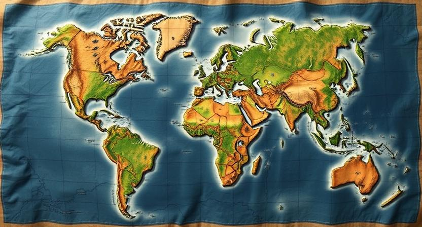
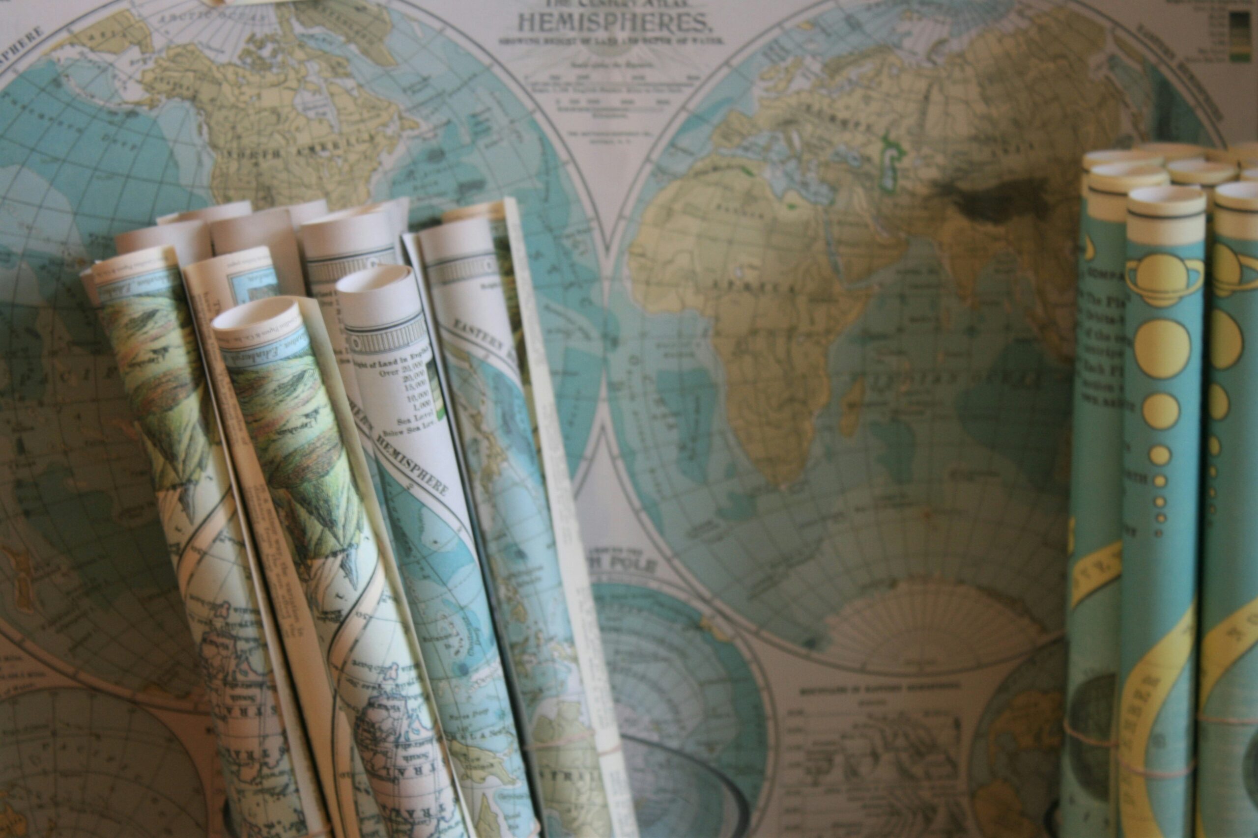
Benefits of Custom Maps for Adventure Planning
Custom maps offer a personalized approach to adventure planning, allowing you to tailor your routes and points of interest according to your specific preferences and requirements. By creating a map that reflects your individual needs and interests, you can enhance your overall experience and make the most of your outdoor adventures. Whether you are embarking on a hiking trip, a road trip, or a cycling expedition, custom maps provide the flexibility and customization needed to ensure a successful and enjoyable journey.
In addition to enhancing the planning process, custom maps also serve as valuable navigation tools during your adventure. By having a map that is customized to your itinerary, you can navigate unknown terrain with confidence and ease. Whether you are exploring remote wilderness areas or navigating bustling urban landscapes, a custom map can provide you with the guidance and direction needed to stay on course and make the most of your adventure.
• Custom maps allow you to tailor routes and points of interest according to your preferences
• Enhance overall experience and make the most of outdoor adventures
• Provide flexibility and customization for hiking, road trips, cycling expeditions
• Serve as valuable navigation tools during adventures
• Navigate unknown terrain with confidence and ease
• Stay on course in remote wilderness areas or bustling urban landscapes
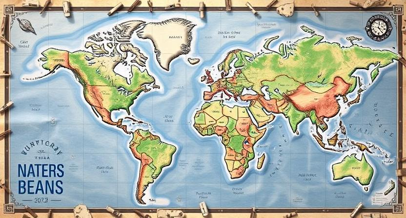
Understanding the Basics of Map Making
When creating custom maps for adventure planning, it’s essential to understand the basics of map making. This includes familiarizing yourself with key elements such as scale, orientation, landmarks, and symbols. These foundational components form the building blocks of a well-designed and functional map that will serve as a valuable tool for navigating and exploring different terrains.
Map making involves not just the physical representation of geographic features but also the art of conveying information effectively. Choosing the right tools and techniques can significantly impact the clarity and usability of your custom map. By mastering the basics of map making, you can create personalized maps that cater to your specific needs and preferences, enhancing your outdoor adventures with detailed and informative guidance.
• Scale, orientation, landmarks, and symbols are key elements in map making
• Custom maps for adventure planning require a good understanding of these basics
• Choosing the right tools and techniques can impact the clarity and usability of your map
• Mastering the basics of map making allows for personalized maps that cater to specific needs
• Detailed and informative guidance enhances outdoor adventures
Choosing the Right Tools for Creating Custom Maps
When creating custom maps for your adventures, selecting the right tools is essential to ensure a smooth and successful mapping process. One key tool to consider is a reliable computer or laptop equipped with mapping software that allows for customization and detailing of your map. Software options like Adobe Illustrator, Google My Maps, or even more specialized mapping programs such as ArcGIS can provide you with the necessary platform to bring your vision to life.
In addition to software, having access to a high-quality printer is crucial for generating physical copies of your custom maps. A printer with good color accuracy and the ability to handle different paper sizes will enable you to create maps that are clear, detailed, and easy to read. Investing in a good quality paper stock will also enhance the overall appearance and durability of your custom maps, ensuring they withstand the wear and tear of your adventures.
• When creating custom maps, consider the following tools:
– A reliable computer or laptop with mapping software
– Software options like Adobe Illustrator, Google My Maps, or ArcGIS
– Access to a high-quality printer for physical copies of your maps
– Printer with good color accuracy and ability to handle different paper sizes
– Invest in good quality paper stock for clear, detailed, and durable maps
Gathering Data and Information for Your Map
When embarking on the creation of a custom map, one of the initial steps involves gathering the necessary data and information to populate your map effectively. This process typically entails collecting geographical data such as terrain features, water bodies, and landmarks to accurately represent the area of interest. Additionally, acquiring up-to-date information on trails, roads, and points of interest is essential for ensuring the map is relevant and useful to its intended audience.
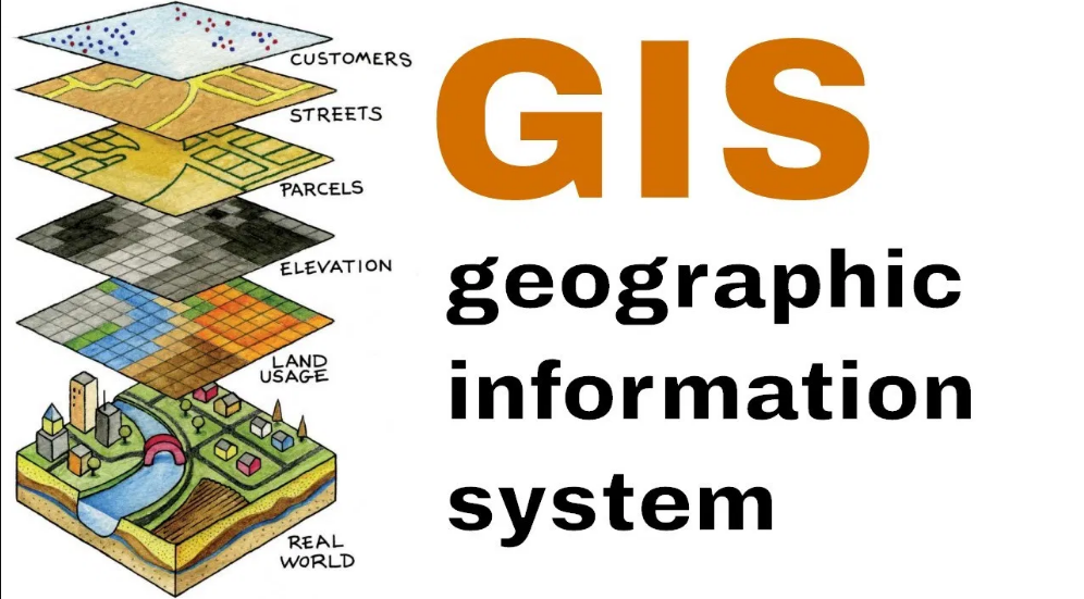
Furthermore, integrating data from sources such as geographic information systems (GIS), satellite imagery, and topographic maps can greatly enhance the precision and detail of your custom map. By combining various datasets and information layers, you can create a comprehensive and informative map that caters to specific needs and preferences. Ultimately, thorough data collection serves as the foundation for a well-crafted and engaging custom map that supports exploration and adventure planning.
• Gathering geographical data such as terrain features, water bodies, and landmarks is crucial for an accurate representation of the area
• Acquiring up-to-date information on trails, roads, and points of interest ensures relevance and usability of the map
• Integrating data from GIS, satellite imagery, and topographic maps enhances precision and detail
• Combining various datasets and information layers creates a comprehensive and informative map
• Thorough data collection serves as the foundation for a well-crafted custom map that supports exploration and adventure planning
Selecting the Ideal Scale and Orientation for Your Map
Selecting the ideal scale and orientation for your custom map is essential in ensuring its usability and effectiveness. The scale of your map should reflect the level of detail you want to include and the size of the area you are covering. Consider how much information you need to convey and how easily you want users to be able to interpret the map. A larger scale will provide more detail but may limit the coverage area, while a smaller scale will allow for a broader overview but with less detail.
Orientation refers to the direction in which the map is oriented, such as north-facing or track-up. The choice of orientation should align with the preferences and needs of the users. North-facing is a common orientation that aligns with traditional map reading and can be useful for orienting oneself in relation to surrounding landmarks. Track-up orientation keeps the direction of movement at the top of the map, which can be helpful for navigation while on the move. Consider the purpose of your map and the intended users when selecting the scale and orientation to ensure clarity and ease of use.
• The scale of your map should reflect the level of detail you want to include and the size of the area you are covering
• Consider how much information you need to convey and how easily you want users to be able to interpret the map
• A larger scale will provide more detail but may limit the coverage area, while a smaller scale will allow for a broader overview but with less detail
• Orientation refers to the direction in which the map is oriented, such as north-facing or track-up
• North-facing is a common orientation that aligns with traditional map reading and can be useful for orienting oneself in relation to surrounding landmarks
• Track-up orientation keeps the direction of movement at the top of the map, which can be helpful for navigation while on the move.
Consider purpose & users when selecting scale & orientation for clarity & ease of use.
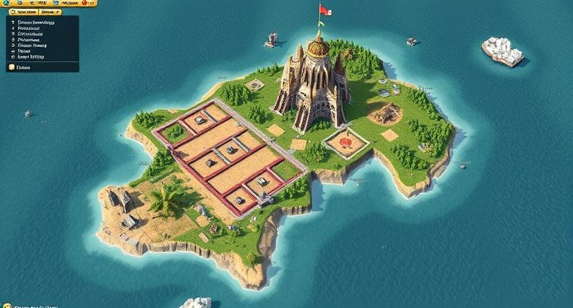
Adding Landmarks and Points of Interest to Your Map
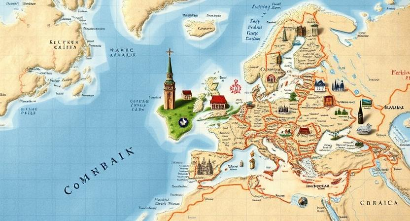
To make your custom map more informative and engaging, consider adding landmarks and points of interest to provide important reference points for users. Landmarks can include significant buildings, natural features, or cultural sites that stand out in the area. Points of interest can range from popular attractions to hidden gems that add value to the map.
When adding landmarks and points of interest, make sure to include clear and concise labels to help users easily identify and locate them on the map. Utilizing symbols or icons can further enhance the visual representation of these features, making them stand out and catch the viewer’s attention. By strategically placing landmarks and points of interest throughout your map, you can create a more comprehensive and user-friendly guide for adventure planning.
• When adding landmarks and points of interest, consider the following tips:
– Choose landmarks that are easily recognizable and widely known in the area
– Include a variety of points of interest to cater to different interests and preferences
– Use different colors or shapes for symbols to differentiate between various types of landmarks
– Provide additional information or descriptions for each landmark or point of interest to educate users
By incorporating landmarks and points of interest into your map, you can enhance the overall user experience and make it more interactive. Whether you are creating a map for tourists, hikers, or city dwellers, adding these features can help them navigate their surroundings with ease. Remember to regularly update your map with new landmarks and points of interest to keep it current and relevant for users.
Incorporating Trails and Routes on Your Custom Map
When adding trails and routes to your custom map, it’s important to carefully plot out the paths you want to include. Consider the difficulty level, terrain, and any potential obstacles or hazards along the way. Highlighting these trails can help you navigate through unfamiliar terrain with ease, providing you with a clear visual representation of your adventure.
To make your map more user-friendly, use different line styles or colors to distinguish between hiking trails, biking paths, and other routes. Additionally, labeling the trails with names or numbers can help you track your progress and stay on course during your outdoor excursions. By incorporating these details into your custom map, you can enhance your planning process and ensure a smoother journey ahead.
• When adding trails and routes to your custom map, carefully plot out the paths you want to include
• Consider difficulty level, terrain, and potential obstacles or hazards along the way
• Highlighting trails can help you navigate through unfamiliar terrain with ease
• Use different line styles or colors to distinguish between hiking trails, biking paths, and other routes
• Label trails with names or numbers to track progress and stay on course during outdoor excursions.
Utilizing Symbols and Icons for Clarity on Your Map
Symbols and icons play a crucial role in enhancing the clarity and readability of custom maps. By utilizing standardized symbols, such as triangles for peaks or circles for campsites, map users can quickly interpret key information without the need for lengthy explanations. Icons can represent various elements like bathrooms, viewpoints, water sources, or even hazards, making it easier for adventurers to navigate and plan their routes effectively.
When selecting symbols and icons for your custom map, it is essential to ensure consistency and simplicity. Avoid using overly complex icons that may confuse users or clutter the map. Instead, opt for clear and universally recognized symbols that align with conventional map legends. By maintaining uniformity in your icon selection and placement, you can streamline the map-reading process and provide a seamless experience for those using your custom map for their adventure planning needs.
• Consistency and simplicity are key when selecting symbols and icons for your custom map
• Use clear and universally recognized symbols that align with conventional map legends
• Avoid overly complex icons that may confuse users or clutter the map
• Maintain uniformity in icon selection and placement to streamline the map-reading process
Color Coding and Labeling Your Map for Easy Reference
When creating a custom map for your adventure planning, color coding and labeling play a crucial role in making the information easily accessible and understandable. By assigning distinct colors to different categories or features on the map, such as landmarks, water bodies, or trails, you can quickly identify and differentiate between them at a glance. This visual organization aids in navigating the map efficiently and enhances the overall user experience.
In addition to color coding, labeling key elements on your map is essential for providing detailed information and context. Clearly labeling points of interest, trail names, elevation levels, and other relevant details helps users interpret the map accurately and plan their adventure effectively. Consistent and clear labeling practices contribute to the map’s readability and ensure that users can easily locate and understand the information they need for their exploration.
• Color coding helps in quickly identifying different categories or features on the map
• Visual organization aids in efficient navigation and enhances user experience
• Labeling key elements provides detailed information and context for users
• Clear labeling of points of interest, trail names, elevation levels, etc., helps users interpret the map accurately
• Consistent and clear labeling practices contribute to the map’s readability
Including a Legend for Your Custom Map
When creating a custom map, including a legend is essential for providing key information about the symbols and colors used on the map. The legend acts as a guide for the reader, helping them understand the meaning behind various elements displayed on the map. This is particularly useful when incorporating different landmarks, trails, points of interest, or any other features that require explanation. A well-designed legend can enhance the navigational experience and make the map more user-friendly for those who will be using it for adventure planning or exploration.
When developing a legend for your custom map, it is important to ensure that each symbol or color is clearly defined and described. Consider using intuitive icons and straightforward labels to avoid confusion or misinterpretation. A well-organized legend will not only make it easier for users to interpret the map accurately but also add to the overall professional look and feel of the map. By taking the time to craft a detailed and informative legend, you can enhance the usability and effectiveness of your custom map for both yourself and others who may rely on it for navigation.
• Including a legend is essential for providing key information about symbols and colors used on the map
• The legend acts as a guide for the reader to understand the meaning behind various elements displayed on the map
• Useful when incorporating different landmarks, trails, points of interest, or any other features that require explanation
• A well-designed legend can enhance navigational experience and make the map more user-friendly for adventure planning or exploration
When developing a legend for your custom map:
• Ensure each symbol or color is clearly defined and described
• Consider using intuitive icons and straightforward labels to avoid confusion
• A well-organized legend makes it easier for users to interpret the map accurately
• Adds to the overall professional look and feel of the map
By crafting a detailed and informative legend, you can enhance usability and effectiveness of your custom map.
Ensuring Accuracy and Precision in Your Map
To guarantee the accuracy and precision of your custom map, meticulous attention to detail is crucial. Begin by cross-referencing multiple reliable sources of geographical data to confirm the authenticity of the information you are including on your map. Double-check coordinates, landmarks, and any other essential features to ensure they are correctly positioned and labeled. This step is vital in preventing inaccuracies that could potentially lead to confusion or misinterpretation for those using your map for navigation or adventure planning.
Furthermore, regularly review and update your custom map with any new information or changes in the landscape. Environmental factors can alter the terrain over time, so it is essential to keep your map current to reflect these modifications accurately. By staying proactive in maintaining the precision of your map, you can enhance its usability and reliability for both yourself and others who rely on it for outdoor excursions or exploration.
• Cross-reference multiple reliable sources of geographical data
• Double-check coordinates, landmarks, and essential features
• Regularly review and update the map with new information or changes in the landscape
• Stay proactive in maintaining precision to enhance usability and reliability
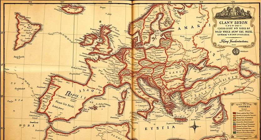
Customizing the Design and Aesthetics of Your Map
When customizing the design and aesthetics of your map, it’s important to consider the overall visual appeal and functionality. Choose a color scheme that is both visually pleasing and easy to read, ensuring that important elements stand out. Utilize a variety of line styles and weights to differentiate between features on the map, creating a clear and organized layout for better navigation. Incorporating textures or patterns for different terrains can add depth and detail to your map, enhancing the overall user experience.
In addition to the technical aspects of map design, think about the overall style and theme you want to convey through your custom map. Whether it’s a minimalist approach with clean lines and simple icons or a more artistic representation with illustrations and decorative elements, the design should align with the purpose and audience of your map. Consistency in typography and iconography will help maintain a cohesive look throughout the map, contributing to a professional and polished final product.
• Choose a color scheme that is visually pleasing and easy to read
• Use a variety of line styles and weights to differentiate between features
• Incorporate textures or patterns for different terrains
• Consider the overall style and theme you want to convey through your map
• Maintain consistency in typography and iconography throughout the design
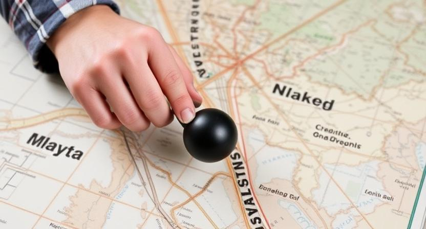
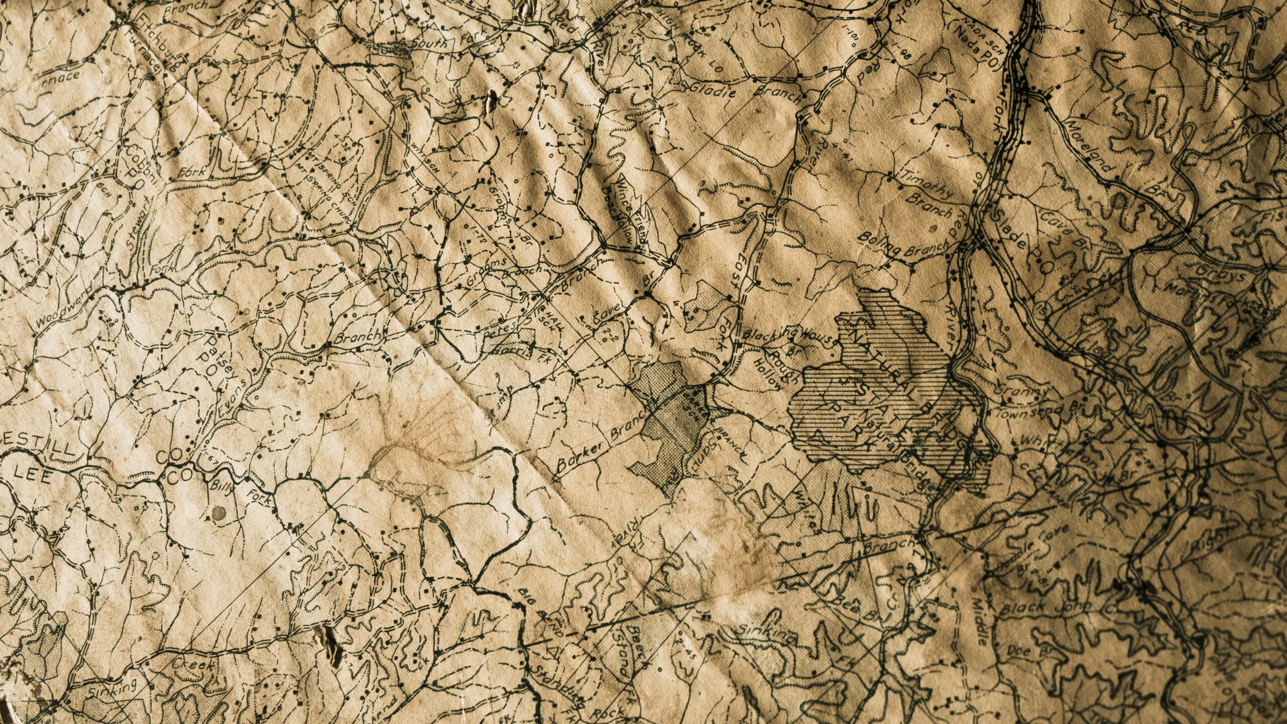
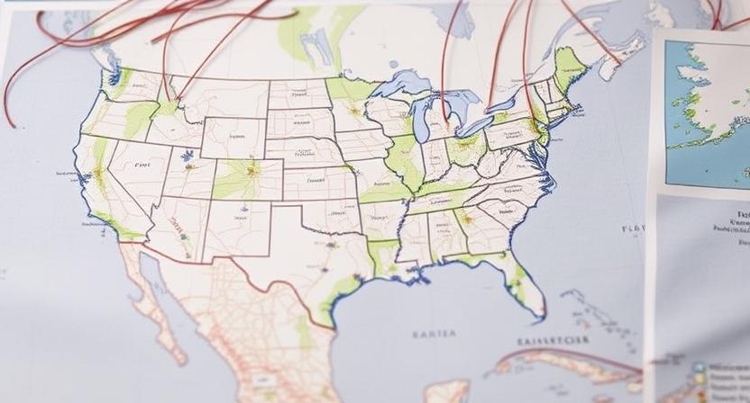
Adding Gridlines and Coordinates to Your Map
Gridlines and coordinates play a crucial role in orienting oneself on a map, providing a systematic way to navigate and pinpoint specific locations accurately. The layout of gridlines, typically in the form of horizontal lines of latitude and vertical lines of longitude, helps divide the map into manageable sections for easier reference. Coordinates, usually expressed as numerical values or a combination of letters and numbers, serve as precise indicators of a particular spot on the map’s grid system. By including gridlines and coordinates on your custom map, you can enhance its usability and assist users in pinpointing locations with precision.
When adding gridlines and coordinates to your map, it’s essential to ensure consistency and clarity in their presentation. Gridlines should be evenly spaced and clearly marked, making it easy for users to distinguish between different sections of the map. Coordinates should be labeled in a standardized format and placed strategically throughout the map to aid in location identification. By maintaining a uniform layout and design for gridlines and coordinates, you can enhance the functionality of your custom map and provide users with a reliable navigational tool for their adventures.
• Gridlines and coordinates are essential for orienting oneself on a map
• Gridlines divide the map into manageable sections for easier reference
• Coordinates serve as precise indicators of specific locations on the map’s grid system
• Including gridlines and coordinates enhances the usability of custom maps
• Consistency and clarity are key when adding gridlines and coordinates to a map
• Gridlines should be evenly spaced and clearly marked for easy distinction
• Coordinates should be labeled in a standardized format and strategically placed throughout the map
Using Online Platforms and Software for Map Creation
One of the most convenient ways to create custom maps is by utilizing online platforms and software specifically designed for map creation. These tools offer a user-friendly interface that allows you to easily input data, customize the design, and add various elements to your map. With just a few clicks, you can access a wide range of features to enhance the clarity and functionality of your custom map.
Online platforms and software also provide the flexibility to collaborate with others in real-time, making it easy to share and edit maps with team members or friends. Additionally, many of these tools offer the option to save your maps in different formats, allowing you to easily print or share them across various devices. The convenience and accessibility of using online platforms and software make them a valuable resource for creating personalized maps for your next adventure.
• One of the most convenient ways to create custom maps is by utilizing online platforms and software specifically designed for map creation.
• These tools offer a user-friendly interface that allows you to easily input data, customize the design, and add various elements to your map.
• With just a few clicks, you can access a wide range of features to enhance the clarity and functionality of your custom map.
• Online platforms and software also provide the flexibility to collaborate with others in real-time, making it easy to share and edit maps with team members or friends.
• Many of these tools offer the option to save your maps in different formats, allowing you to easily print or share them across various devices.
• The convenience and accessibility of using online platforms and software make them a valuable resource for creating personalized maps for your next adventure.
Printing and Formatting Your Custom Map
Once you have finalized your custom map design, it is essential to consider the printing and formatting aspect to ensure a polished final product. Before printing, make sure the file format is compatible with your chosen printing method. Most printing services require high-resolution files to maintain the clarity of your map details. Additionally, consider the paper quality and size that will best showcase your custom map.
When formatting your custom map for printing, pay attention to elements such as margins, borders, and scale. Adjust the layout to optimize the use of space on the paper while ensuring that key information remains clear and legible. It is also important to double-check the color schemes and labeling for consistency and ease of use. Before finalizing the printing process, perform a thorough review to catch any errors and make necessary adjustments to guarantee a professional-looking custom map.
• Make sure the file format is compatible with your chosen printing method
• Use high-resolution files for clarity of map details
• Consider paper quality and size to showcase your custom map effectively
• Pay attention to margins, borders, and scale when formatting for printing
• Optimize layout to maximize space while keeping key information clear
• Double-check color schemes and labeling for consistency and ease of use
• Perform a thorough review before finalizing the printing process
Sharing Your Custom Map with Others
Once you have meticulously crafted your custom map for an upcoming adventure, sharing it with others can enhance the overall experience and make navigation easier for everyone involved. Through the use of digital platforms and communication channels, you can effortlessly distribute your map to friends, family, or fellow explorers. Sharing your map electronically makes it simple for recipients to access and utilize the valuable information you have compiled. Additionally, this sharing process fosters a sense of teamwork and collaboration, as everyone can contribute to the planning and execution of the journey with the aid of the map.
• One of the easiest ways to share your custom map is through email. Simply attach the file or provide a link for recipients to download and view the map.
• Utilize social media platforms such as Facebook, Instagram, or Twitter to share your map with a wider audience. You can post the map directly on these platforms or provide a link for interested individuals to access it.
• Consider creating a shared folder on cloud storage services like Google Drive or Dropbox where multiple people can access and edit the map in real-time. This allows for seamless collaboration and updates as needed.
• If you are planning an event or group outing, consider printing out physical copies of your custom map to distribute to participants. This tangible form of sharing adds a personal touch and ensures that everyone has easy access to navigation information during the adventure.
Updating and Editing Your Custom Map as Needed
When it comes to creating custom maps for your adventures, keeping them updated and edited is crucial for accuracy and precision. Frequent updates ensure that you have the most current information at your disposal for navigation and exploration. As you gather new data or discover changes in the landscape, make sure to incorporate these updates into your custom map to reflect the latest conditions and details accurately.
Editing your custom map allows you to refine the design, add new elements, or make adjustments for improved usability. Whether it’s adjusting the scale, updating landmarks, or enhancing the visual appeal of your map, regular editing maintains its relevance and functionality. By staying proactive in updating and editing your custom map as needed, you can ensure that it remains a valuable tool for your future adventures.
• Updating and editing your custom map is crucial for accuracy and precision
• Frequent updates ensure you have the most current information for navigation
• Incorporate new data or changes in the landscape to reflect accurate details
• Editing allows you to refine design, add new elements, or make adjustments for usability
• Adjust scale, update landmarks, or enhance visual appeal for improved functionality
• Staying proactive in updating and editing ensures your custom map remains a valuable tool
Using Mobile Applications for Interactive Maps
Mobile applications have revolutionized the way we interact with maps during our outdoor adventures. These apps offer a user-friendly experience, allowing for seamless navigation and access to real-time information. By utilizing GPS technology, mobile applications can track your location accurately and provide detailed route guidance, making it easier to explore new terrains safely.
Additionally, mobile applications for interactive maps often come with features such as offline map access, custom waypoints, and sharing options. This means you can plan your adventures in remote areas without worrying about losing connectivity. With the ability to store multiple maps on your device, you can switch between different routes and customize your map preferences based on your specific needs and preferences.
• Mobile applications for interactive maps offer a user-friendly experience
• GPS technology allows for accurate location tracking and detailed route guidance
• Features such as offline map access, custom waypoints, and sharing options enhance the overall experience
• Ability to store multiple maps on your device for easy switching between routes
• Customizable map preferences cater to individual needs and preferences
Integrating GPS Technology with Your Custom Maps
To enhance the functionality and usability of your custom maps, integrating GPS technology is a valuable addition. GPS technology allows for real-time tracking of your location, providing you with accurate positioning data as you navigate through terrain. By integrating GPS technology with your custom maps, you can effectively pinpoint your exact location on the map, making it easier to follow designated routes and trails with precision.
Furthermore, the integration of GPS technology with your custom maps enables you to record your journey, track your progress, and mark points of interest along the way. This interactive feature allows for a more engaging and immersive adventure experience, as you can easily refer to your custom map to ensure you are on the right path. With GPS technology, you can also share your location with others in case of emergencies or to simply keep friends and family informed about your whereabouts during your exploration.
• By integrating GPS technology with your custom maps, you can:
– Pinpoint your exact location on the map
– Follow designated routes and trails with precision
– Record your journey and track progress
– Mark points of interest along the way
• This interactive feature allows for a more engaging and immersive adventure experience, as you can easily refer to your custom map to ensure you are on the right path.
• With GPS technology, you can also share your location with others in case of emergencies or to simply keep friends and family informed about your whereabouts during your exploration.
Storing and Organizing Your Custom Maps for Future Adventures.
When it comes to preserving your custom maps for future use, organization is key. One effective way to store your maps is by utilizing digital platforms or applications specifically designed for map storage. These platforms offer the convenience of accessing your maps from any device, and often provide features for categorizing and sorting your maps based on different criteria such as location, date, or type of adventure.
Another option for storing and organizing your custom maps is to maintain a physical map archive. This could involve keeping a collection of printed maps in a designated folder or binders, accompanied by a clear labeling system. By having a tangible copy of your custom maps, you can easily browse through them and reminisce about past adventures, as well as quickly grab the relevant map when planning for future expeditions.
– One effective way to store custom maps is by utilizing digital platforms or applications
– These platforms offer convenience of accessing maps from any device
– Features for categorizing and sorting maps based on criteria such as location, date, or type of adventure
– Another option is maintaining a physical map archive
– Keep printed maps in designated folder or binders with clear labeling system
– Tangible copy allows easy browsing and reminiscing about past adventures