
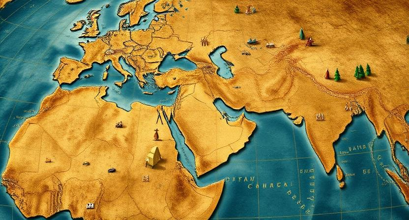
Ancient Navigational Methods
Ancient navigational methods have long been a source of fascination and admiration for their ingenuity and resourcefulness. One of the most well-known techniques is celestial navigation, where sailors used the position of the stars to determine their direction. By observing the night sky and identifying specific constellations, ancient navigators were able to plot their course across vast oceans with remarkable accuracy.
In addition to using stars for direction, ancient mariners also relied on the sun and moon. By noting the sun’s position in the sky at different times of day, sailors could gauge their east-west direction, while the moon’s phases provided a rough estimate of the passage of time. These seemingly simple yet effective methods allowed sailors to navigate across long distances and discover new lands with a blend of expertise and intuition.
• Celestial navigation was a key technique used by ancient sailors
• Observing specific constellations helped plot courses accurately
• Sun and moon positions were also important for determining direction and time passage
• These methods allowed sailors to navigate vast oceans and discover new lands
Celestial Navigation
Celestial navigation is a method of orienting oneself using the position of celestial bodies in the sky. This ancient practice relies on the observation of stars, the sun, and the moon to determine direction and location. By studying the movement and alignment of these celestial bodies, navigators were able to plot their course across vast oceans and desolate landscapes.
Sailors and explorers throughout history have utilized celestial navigation to traverse the seas, with techniques varying from culture to culture. By understanding the relationship between the stars and the earth, ancient mariners were able to navigate with astonishing accuracy, using tools like astrolabes and sextants to measure the angles of celestial bodies in relation to the horizon. This intricate knowledge of the night sky allowed them to navigate uncharted waters and chart new territories, relying solely on the guidance of the heavens.
• Celestial navigation is a method of orienting oneself using the position of celestial bodies in the sky.
• This ancient practice relies on the observation of stars, the sun, and the moon to determine direction and location.
• Navigators study the movement and alignment of celestial bodies to plot their course across vast oceans and desolate landscapes.
• Sailors and explorers have utilized celestial navigation throughout history to traverse the seas.
• Techniques for celestial navigation vary from culture to culture.
Using Stars for Direction
Celestial bodies have long served as key navigational tools for travelers across the globe. By observing the positions of stars in the night sky, ancient seafarers and explorers were able to determine their direction and navigate vast oceans with precision. The constellations, in particular, provided reliable markers that helped sailors orient themselves and stay on course during long voyages.
• The North Star, also known as Polaris, has been a particularly important guide for navigators in the Northern Hemisphere. Located almost directly above the North Pole, it remains nearly stationary in the sky while other stars appear to rotate around it.
• By locating Polaris and determining its position relative to their own location, sailors could easily identify which direction was north. This simple but effective method allowed them to maintain a steady course even when clouds obscured other celestial bodies.
• In addition to Polaris, certain constellations such as Orion and the Big Dipper have also been used by mariners to navigate at sea. These recognizable patterns of stars served as visual aids that helped sailors plot their course and avoid getting lost in unfamiliar waters.
• While modern technology like GPS has largely replaced traditional methods of navigation, many sailors still rely on stars for direction as a backup or for recreational purposes. Learning how to read the night sky can be both practical and rewarding for anyone interested in exploring the great outdoors or venturing out into open water.
Reading the Sun and Moon
The movement and position of the sun and moon have long been essential indicators for navigators exploring the vast expanses of land and sea. By observing the sun’s angle and shadows cast at different times of the day, ancient navigators could determine their direction and approximate time. The sun’s position in the sky also provided valuable information about cardinal directions, enabling sailors and travelers to orient themselves and stay on course.
Similarly, the moon’s phases and nightly path across the sky offered additional navigational clues to those traversing unfamiliar terrain. Travelers could utilize the moon’s rising and setting to gauge their position and adjust their course accordingly. The brightness and position of the moon also served as a natural source of light during nighttime journeys, aiding in safe passage through dark or obscured landscapes. Ultimately, the sun and moon proved to be reliable celestial guides that ancient navigators utilized to successfully reach their destinations.
• Navigators have long relied on the movement and position of the sun and moon for navigation
• Observing the sun’s angle and shadows helped determine direction and time
• The sun’s position in the sky provided information about cardinal directions
• Moon’s phases and nightly path across the sky offered additional navigational clues
• Travelers could utilize moon’s rising and setting to gauge their position
• Brightness and position of the moon served as a natural source of light during nighttime journeys
Navigating by Shadows
Shadows have long served as an essential tool for navigation, providing valuable information about the time of day and direction. By observing the length and direction of shadows cast by an object, ancient navigators were able to determine their approximate location and the cardinal directions they were traveling towards. This technique of gauging the position of the sun based on shadow patterns allowed sailors, travelers, and explorers to orient themselves even in the absence of modern aids.
The use of shadows in navigation was not limited to determining direction. By analyzing the movement of shadows throughout the day, navigators could also infer the time and position of the sun in the sky. This knowledge was crucial for calculating the approximate latitude and making course corrections to stay on track. By mastering the art of reading shadows, ancient civilizations were able to navigate vast distances across land and sea with remarkable precision and skill.
• Shadows have been used as a tool for navigation for centuries
• Observing the length and direction of shadows can help determine approximate location and cardinal directions
• Analyzing shadow movement throughout the day can provide information about time and position of the sun in the sky
• This knowledge was crucial for calculating latitude and making course corrections to stay on track
• Ancient civilizations were able to navigate vast distances with precision by mastering the art of reading shadows
Utilizing Constellations

Navigating by utilizing constellations was a crucial skill employed by ancient civilizations to guide their journeys across the seas and lands. By observing the patterns of stars in the night sky, sailors and travelers could determine their direction and position. Constellations such as Orion, the Big Dipper, and Cassiopeia served as celestial markers that helped navigate through uncharted territories, offering a sense of orientation amidst the vast expanse of the world.
Moreover, constellations not only provided a means of direction but also played a significant role in cultural storytelling and mythologies. Many ancient societies associated these star patterns with deities, heroes, and legends, intertwining celestial navigation with spiritual beliefs and societal customs. This connection between the practical use of constellations for navigation and their symbolic significance in cultural narratives highlights the depth of understanding and reverence that early civilizations had for the night sky.
• Navigating by constellations allowed sailors and travelers to determine direction and position
• Constellations like Orion, the Big Dipper, and Cassiopeia served as celestial markers for navigation
• Cultural storytelling and mythologies often intertwined with the use of constellations
• Ancient societies associated star patterns with deities, heroes, and legends
• The connection between practical navigation and cultural significance showcases early civilizations’ reverence for the night sky
Following Natural Landmarks
Navigating by natural landmarks has been a fundamental method used by ancient civilizations to traverse vast landscapes and unknown territories. By observing prominent features such as mountains, rivers, coastlines, and distinctive trees, early explorers were able to create mental maps of their surroundings and chart their course with relative accuracy. These natural landmarks served as reliable points of reference, guiding travelers along well-established routes and ensuring successful journeys across diverse terrains.
The ability to interpret and utilize natural landmarks for navigation not only required keen observation skills but also a deep understanding of the environment and its geographical characteristics. Through careful study and experience, our ancestors were able to develop a sophisticated system of wayfinding that allowed them to navigate with precision and confidence in the absence of modern technology. By honing their awareness of the land and its features, ancient navigators were able to successfully navigate through even the most challenging and unfamiliar landscapes, showcasing the ingenuity and resourcefulness of human navigation techniques.
• Navigating by natural landmarks has been a fundamental method used by ancient civilizations
• Observing prominent features such as mountains, rivers, coastlines, and distinctive trees helped early explorers create mental maps
• Natural landmarks served as reliable points of reference for travelers
• Wayfinding required keen observation skills and a deep understanding of the environment
• Ancient navigators were able to navigate with precision and confidence without modern technology
Using Wind Patterns
Navigating by wind patterns has long been a crucial technique for mariners seeking to harness the power of nature in their journeys across vast oceans. By observing the direction and strength of winds, sailors were able to adjust their sails and navigate their ships in a way that maximized speed and efficiency. The trade winds, for instance, were a key component of early transoceanic voyages, providing a reliable path for sailors to follow as they traveled between continents.
In addition to speed and efficiency, understanding wind patterns was also essential for safety at sea. Mariners needed to be able to anticipate changes in the weather and adjust their course accordingly to avoid storms and dangerous conditions. By relying on their observations of the winds and the sky, ancient navigators were able to navigate the seas with a level of skill and precision that belied the simple tools at their disposal.
• Navigating by wind patterns has been crucial for mariners
• Observing direction and strength of winds helps adjust sails for speed and efficiency
• Trade winds were key for early transoceanic voyages
• Understanding wind patterns essential for safety at sea
• Anticipating changes in weather to avoid storms
• Ancient navigators used simple tools but had skill and precision
Reading Ocean Currents
The study of ocean currents plays a crucial role in navigation, helping sailors and explorers understand the movement of water and its impact on their journey. By observing the direction and speed of currents, seafarers can effectively plan their routes to take advantage of favorable flows or avoid challenging conditions. Through centuries of experience and empirical knowledge, mariners have learned to read the subtle signs of ocean currents to enhance their navigation skills.
Ocean currents are influenced by a variety of factors, including wind patterns, temperature differentials, and the Earth’s rotation. By closely monitoring these elements, sailors can predict the behavior of currents and adapt their course accordingly. Understanding how currents interact with different regions of the ocean allows navigators to make strategic decisions to optimize their travel time and conserve resources.
• Ocean currents are influenced by wind patterns, temperature differentials, and the Earth’s rotation.
• By monitoring these factors closely, sailors can predict current behavior and adjust their course.
• Understanding how currents interact with different regions of the ocean helps navigators make strategic decisions for optimal travel time.
Navigating by Bird Migration
Bird migration has long been observed and utilized as a natural navigational guide by various cultures around the world. The annual journeys of birds across vast distances, driven by instinct and environmental cues, serve as a reliable indicator of seasonal changes and geographical landmarks.
By paying close attention to the patterns of bird migration, ancient navigators were able to glean valuable information about weather conditions, available food sources, and potential hazards along their routes. Birds flying in particular directions or at specific times of the year signaled to seafarers and travelers alike where they were in relation to their desired destinations, aiding them in planning their journeys with greater precision and efficiency.
• Bird migration has been observed and utilized as a natural navigational guide by various cultures
• Annual journeys of birds driven by instinct and environmental cues serve as reliable indicators of seasonal changes and geographical landmarks
• Ancient navigators were able to glean valuable information about weather conditions, food sources, and potential hazards along their routes by paying attention to bird migration patterns
• Birds flying in specific directions or at certain times of the year signaled to seafarers and travelers where they were in relation to desired destinations
Utilizing Natural Magnetism

Navigating by natural magnetism is a timeless method employed by ancient civilizations to find their way across vast lands and seas. By observing the alignment of magnetic minerals in rocks, explorers were able to determine direction based on the Earth’s magnetic field. This technique proved invaluable, especially in regions where other navigational aids were scarce or unavailable.
The Earth’s magnetic field acts as a silent guide for those attuned to its subtle influence. By creating makeshift compasses using lodestones or magnetized needles, travelers could orient themselves and navigate with a degree of precision. Harnessing the power of natural magnetism, early seafarers and land travelers alike forged paths through uncharted territories, relying on this fundamental force of nature to steer them towards their destinations.
• Navigating by natural magnetism is a timeless method used by ancient civilizations
• Observing the alignment of magnetic minerals in rocks helped determine direction based on Earth’s magnetic field
• Creating makeshift compasses using lodestones or magnetized needles allowed travelers to orient themselves and navigate with precision
• Early seafarers and land travelers relied on natural magnetism to forge paths through uncharted territories
Following Rivers and Waterways
Rivers and waterways have long served as crucial navigational aids for ancient civilizations and explorers. The flow of rivers often provided a clear and continuous path to follow, guiding travelers through unfamiliar terrain with a natural and reliable route. By tracing the course of rivers, travelers could easily navigate through diverse landscapes, as rivers typically lead to settlements, resources, and potential trade routes.
Furthermore, rivers and waterways played an essential role in connecting different regions and cultures, facilitating the exchange of goods, ideas, and knowledge. Along these water routes, communities blossomed, creating networks of interaction and trade that shaped the development of societies. The utilization of rivers as navigation points highlights the ingenuity of early navigators, who harnessed the power of flowing water to steer their journeys and explore new horizons.
• Rivers and waterways have historically served as important navigational aids for ancient civilizations and explorers
• The flow of rivers provided a clear and continuous path to follow, guiding travelers through unfamiliar terrain
• Following the course of rivers allowed for easy navigation through diverse landscapes, leading to settlements, resources, and potential trade routes
• Rivers played a crucial role in connecting different regions and cultures, facilitating the exchange of goods, ideas, and knowledge
• Communities along water routes thrived, creating networks of interaction and trade that shaped societies
• Early navigators showcased their ingenuity by utilizing rivers as navigation points to explore new horizons
Navigating by the Stars
Navigating by the stars is a time-honored method of determining direction and location, used by sailors, explorers, and travelers for centuries. By observing the position of stars in the night sky, navigators were able to plot their course and maintain a sense of direction even in the vast expanse of the open sea or unfamiliar terrain. Constellations such as the Big Dipper, Orion, and the Southern Cross served as reliable guides, helping navigators orient themselves and navigate towards their intended destination.
In addition to individual stars and constellations, the movement of the stars throughout the night provided valuable clues for navigation. By tracking the journey of certain stars across the sky, navigators could determine their east-west position and adjust their course accordingly. This method, known as star transits, allowed seafarers to maintain a steady heading and make accurate progress towards their destination, even when other navigational tools were unavailable.
• Navigating by the stars has been used for centuries by sailors, explorers, and travelers
• Constellations like the Big Dipper, Orion, and the Southern Cross serve as reliable guides
• Movement of stars throughout the night provides valuable clues for navigation
• Tracking star transits helps determine east-west position and adjust course accordingly
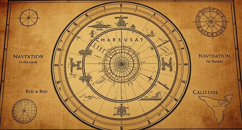
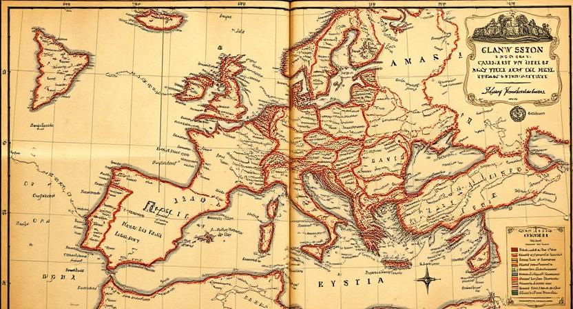
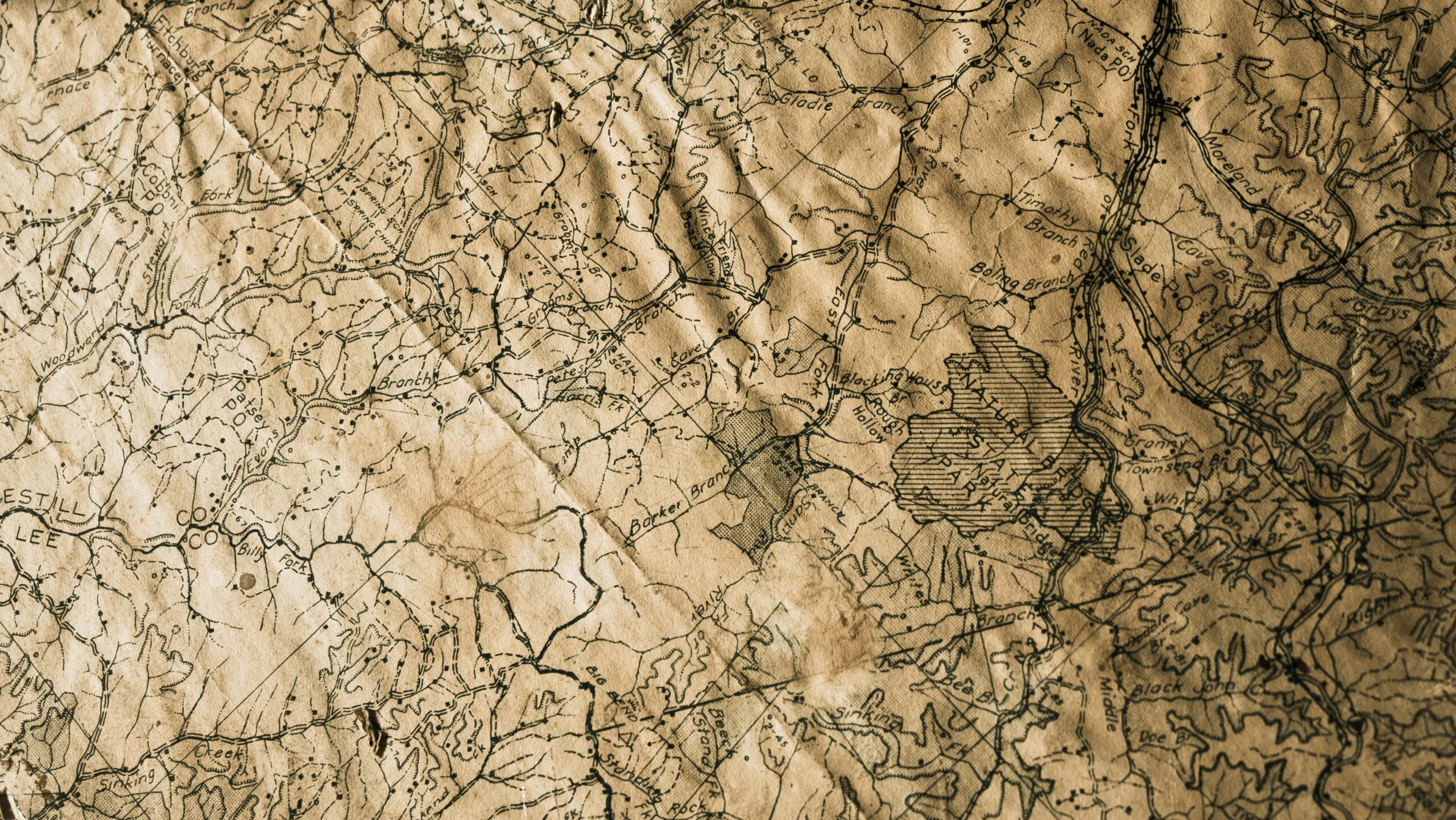
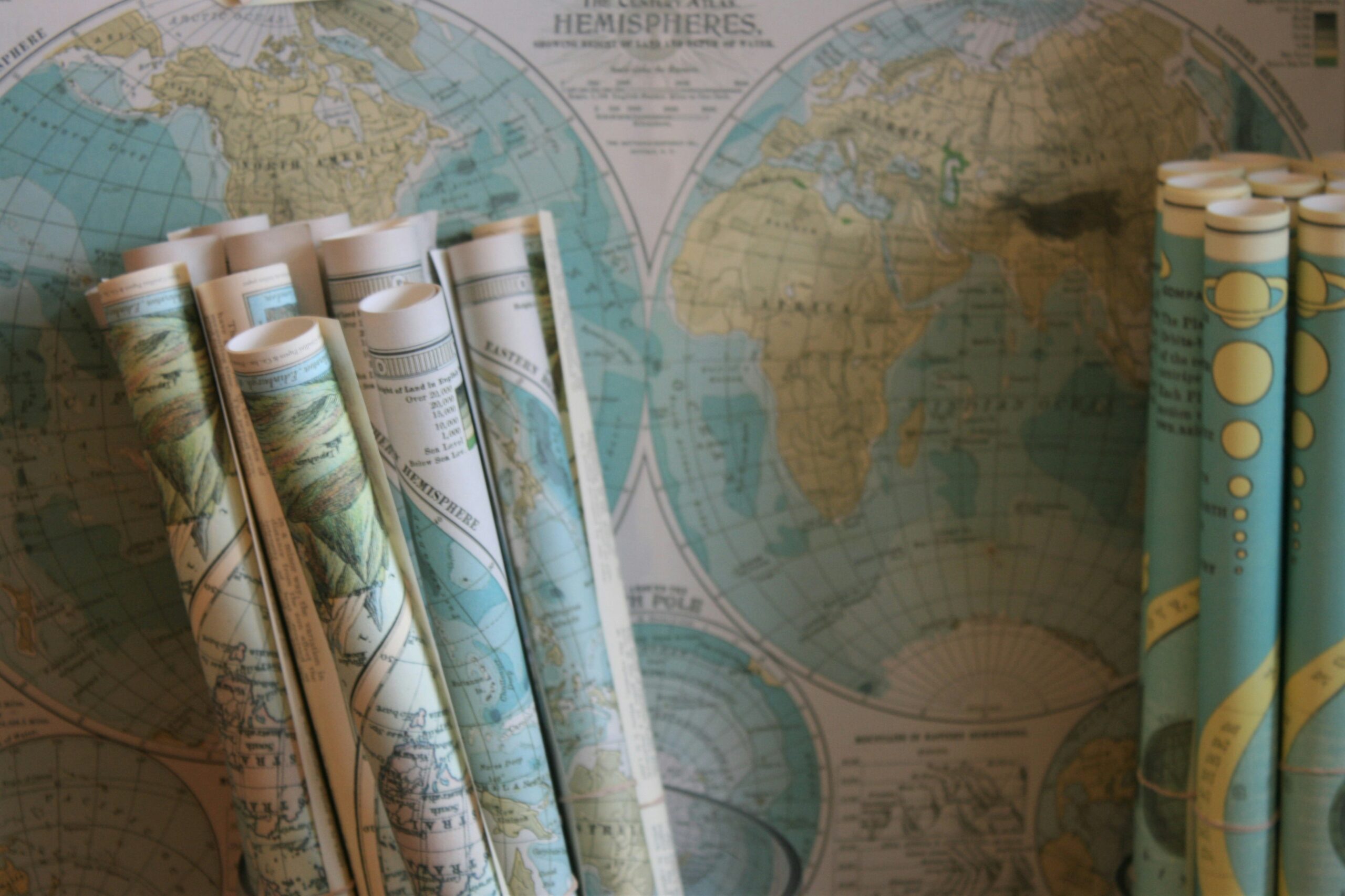
Using Maps and Charts
Maps and charts have served as indispensable tools for navigators throughout history. These visual representations of the land and sea provide crucial information about geographical features, distances, and directions. By studying maps and charts, sailors and explorers could plan their routes, anticipate obstacles, and make informed decisions about their journey.
Maps not only depict the physical layout of the world but also highlight important landmarks and navigational aids. Charts, specifically designed for maritime navigation, offer detailed information about coastlines, water depths, and potential hazards such as reefs or sandbars. Both maps and charts play a vital role in guiding travelers safely to their destinations, helping them stay on course even in unfamiliar waters.
– Maps and charts have been essential tools for navigators throughout history
– They provide crucial information about geographical features, distances, and directions
– Sailors and explorers use maps to plan routes, anticipate obstacles, and make informed decisions
– Maps depict the physical layout of the world and highlight important landmarks
– Charts offer detailed information about coastlines, water depths, and potential hazards
Utilizing Wayfinding Techniques
Wayfinding techniques have been employed by various cultures throughout history as a means of navigation and orientation in the natural world. These techniques rely on observing cues from the environment such as landmarks, celestial bodies, and natural phenomena to determine direction and location. By honing their skills in reading the signs of the Earth and sky, ancient peoples were able to traverse great distances with accuracy and precision.
The art of wayfinding often involves a deep understanding of the interconnectedness between the physical world and those who inhabit it. By attuning themselves to the rhythms of nature, navigators were able to adapt to changing conditions and find their way even in unfamiliar territories. Through a combination of observation, intuition, and experience, these wayfinders were able to navigate vast oceans, dense forests, and expansive deserts, relying solely on their knowledge of the world around them.
• Wayfinding techniques have been used by various cultures throughout history for navigation
• Techniques involve observing cues from the environment such as landmarks and celestial bodies
• Ancient peoples were able to traverse great distances with accuracy and precision
• The art of wayfinding requires a deep understanding of the interconnectedness between the physical world and its inhabitants
• Navigators attune themselves to nature’s rhythms to adapt to changing conditions
• Through observation, intuition, and experience, wayfinders navigate oceans, forests, and deserts using their knowledge of the world
Navigating by the Position of the Sun

Ancient civilizations such as the Egyptians and the Mayans were adept at navigating by the position of the sun. By observing the angle and height of the sun in the sky at different times of the day, seafarers and travelers could determine their direction and approximate time of day. The sun’s position in relation to the horizon provided valuable information on whether they were heading east, west, north, or south.
Moreover, tracking the sun’s movement across the sky allowed navigators to gauge the passage of time. The length of shadows cast by objects changed as the sun moved, indicating the time of day and aiding in determining their location. By combining knowledge of the sun’s position with other natural navigational techniques, ancient mariners were able to successfully traverse vast distances across oceans and deserts, relying on the sun as a reliable guide in their journeys.
• Ancient civilizations like the Egyptians and Mayans navigated by the position of the sun
• Observing angle and height of the sun helped determine direction and time of day
• Sun’s position in relation to horizon indicated east, west, north, or south
• Tracking sun’s movement across sky allowed gauging passage of time
• Length of shadows cast changed with sun’s movement indicating time of day
Following the North Star
For centuries, sailors and travelers have looked to the heavens for guidance on their journeys across the vast expanses of land and sea. One of the oldest and most reliable methods of navigation is following the North Star. Located directly above the Earth’s North Pole, Polaris remains almost stationary in the night sky as other stars appear to move throughout the night due to the planet’s rotation. By locating the North Star, navigators can easily determine true north and orient themselves in the correct direction.
Navigating by the North Star has been a fundamental technique used by ancient civilizations and explorers alike. Its consistent position in the sky has made it a reliable point of reference for determining direction, especially in the absence of other landmarks or celestial cues. By aligning oneself with the North Star, travelers can establish a fixed point of reference that allows them to maintain their course regardless of the changing positions of other stars or the movement of the Earth.
• The North Star, also known as Polaris, remains almost stationary in the night sky
• By locating the North Star, navigators can easily determine true north
• Navigating by the North Star has been a fundamental technique used by ancient civilizations and explorers alike
• Its consistent position in the sky has made it a reliable point of reference for determining direction
• Aligning oneself with the North Star allows travelers to maintain their course regardless of other celestial movements
Utilizing Indigenous Knowledge
Indigenous knowledge has long been recognized for its invaluable contributions to navigation. Passed down through generations, this traditional wisdom encompasses a deep understanding of the natural world and its rhythms. From observing the behavior of animals to interpreting cloud formations, indigenous communities have developed intricate methods of navigating across vast terrains with precision and accuracy.
By drawing upon their profound connection with the land and sea, indigenous peoples are able to read subtle signs and signals that guide them in their journeys. Through keen observation and profound respect for nature, they have honed their navigational skills to successfully traverse even the most challenging environments. This intricate knowledge draws on a holistic understanding of the interconnectedness of all living things, shaping a unique approach to navigation that is both effective and sustainable in the long term.
• Indigenous knowledge is deeply rooted in a profound connection with the natural world
• Traditional wisdom includes observing animal behavior and interpreting cloud formations
• Navigational skills are honed through keen observation and respect for nature
• Indigenous communities have developed intricate methods for navigating across vast terrains with precision and accuracy
Navigational Tools of Ancient Civilizations
The navigational tools employed by ancient civilizations were often ingenious in their simplicity yet highly effective in guiding sailors across vast oceans and expansive deserts. One such tool was the kamal, utilized by Arabian navigators to measure the altitude of stars above the horizon. By aligning the edge of the kamal with the star being observed, sailors could determine their latitude, aiding in their navigation.
Another notable tool was the astrolabe, a sophisticated instrument used by ancient Greek and Islamic navigators to measure the altitude of celestial bodies. By using a movable arm to align with the position of stars or the sun, sailors could calculate their latitude based on the angle of the celestial body above the horizon. These navigational tools of ancient civilizations played a crucial role in expanding trade routes, facilitating exploration, and connecting distant regions of the world.
• The kamal, used by Arabian navigators, measured the altitude of stars to determine latitude
• The astrolabe, employed by Greek and Islamic navigators, calculated latitude based on celestial body positions
• These tools were crucial in expanding trade routes and connecting distant regions of the world
The Role of Astronomy in Navigation
Astronomy has played a crucial role in navigation throughout history. By observing the movement of celestial bodies such as the sun, moon, and stars, ancient navigators were able to determine their position and direction. The regular patterns of these celestial objects provided a reliable reference point for sailors and travelers to orient themselves and chart their course across the vast oceans and unfamiliar lands.
Moreover, the North Star, also known as Polaris, became a key navigational tool for many civilizations. Situated almost directly above the North Pole, the North Star remains relatively fixed in the sky while the other stars appear to revolve around it. This stability made it a valuable guide for determining north, enabling travelers to maintain a steady course even on cloudy nights when other stars were obscured.ustomed to rely on the natural world to guide them towards their destinations.
• Celestial bodies like the sun, moon, and stars were observed for navigation
• Regular patterns of celestial objects provided reliable reference points
• The North Star (Polaris) was a key navigational tool for many civilizations
• Its stability made it valuable for determining north direction
• Travelers relied on the natural world to guide them towards their destinations

