
Early Exploration and Navigation

During early exploration, navigators faced significant challenges as they ventured into uncharted territories. Without the modern tools and technologies available today, sailors relied on celestial navigation methods such as using the stars, sun, and moon to determine their position at sea. This required a deep understanding of astronomy and mathematics, as well as keen observational skills to navigate vast oceans and unknown lands.
Explorers sailed into the unknown, facing the uncertainties of treacherous waters, unpredictable weather patterns, and navigating through uncharted waters. The lack of accurate maps and the limited knowledge of geography posed immense obstacles to these brave adventurers. Despite the dangers and challenges, early exploration and navigation paved the way for important discoveries, trade routes, and the exchange of cultures that shaped the world as we know it today.
• Early explorers relied on celestial navigation methods such as using stars, sun, and moon
• Deep understanding of astronomy and mathematics was essential for navigation at sea
• Keen observational skills were necessary to navigate vast oceans and unknown lands
• Explorers faced uncertainties of treacherous waters and unpredictable weather patterns
• Lack of accurate maps and limited knowledge of geography posed immense obstacles
• Despite dangers, early exploration led to important discoveries, trade routes, and cultural exchange
Challenges of Navigating Uncharted Territories
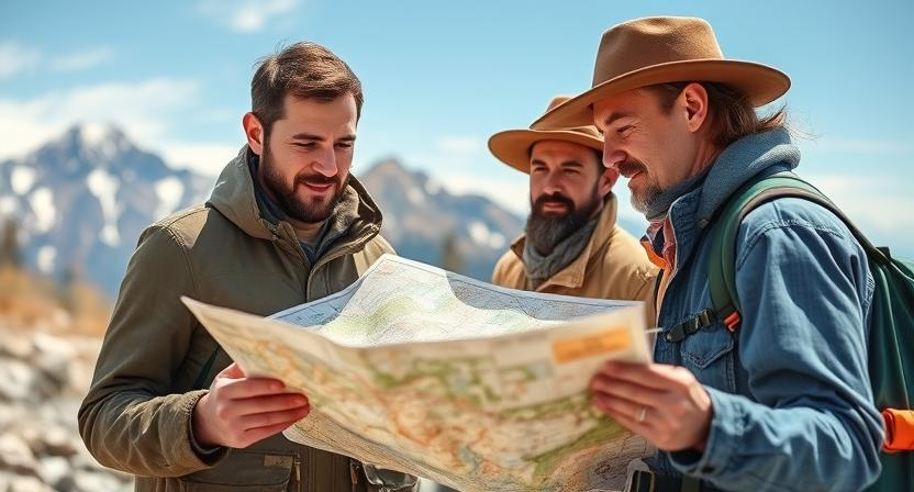
Embarking on expeditions into uncharted territories presents explorers with a myriad of challenges. The lack of accurate maps or reliable geographic data makes navigation a daunting task. Navigating through unfamiliar terrains without clear landmarks or established routes requires navigational skills that go beyond standard practices. The uncertainty of what lies ahead can heighten the sense of adventure but also increases the risks associated with unforeseen obstacles or dangers.
Apart from the physical challenges of traversing unknown landscapes, explorers also face mental obstacles when navigating uncharted territories. The constant need to make crucial decisions based on limited information can lead to increased stress and mental fatigue. The fear of getting lost or encountering hostile environments adds a layer of complexity to the already demanding task of exploring new lands. To successfully navigate uncharted territories, explorers must rely on their ingenuity, resourcefulness, and adaptability in the face of ever-changing conditions.
• The lack of accurate maps or reliable geographic data makes navigation difficult
• Navigating through unfamiliar terrains without clear landmarks or established routes requires advanced navigational skills
• Uncertainty of what lies ahead can increase risks associated with unforeseen obstacles or dangers
• Constant need to make crucial decisions based on limited information can lead to increased stress and mental fatigue
• Fear of getting lost or encountering hostile environments adds complexity to the task
• Explorers must rely on ingenuity, resourcefulness, and adaptability in ever-changing conditions
Impact of Geographic Features on Expedition Routes
Geographic features play a crucial role in shaping expedition routes, influencing the path explorers must navigate to reach their destinations. Mountain ranges, rivers, deserts, and other natural landmarks present challenges that demand careful planning and adaptation. For instance, traversing through dense forests or scaling steep cliffs requires specific skills and equipment, affecting the choice of routes taken by explorers.
Furthermore, bodies of water such as oceans and lakes present both opportunities and obstacles for expedition routes. Navigating across vast expanses of water requires a different set of considerations compared to crossing land terrain. Factors like prevailing currents, wind patterns, and the availability of suitable harbors or crossing points significantly impact the feasibility and success of maritime expedition routes. The interaction between geographic features and expedition routes underscores the dynamic relationship between nature’s obstacles and human determination in exploration endeavors.
• Mountain ranges, rivers, deserts, and other natural landmarks shape expedition routes
• Traversing through dense forests or scaling steep cliffs requires specific skills and equipment
• Bodies of water like oceans and lakes present opportunities and obstacles for expedition routes
• Factors like prevailing currents, wind patterns, and the availability of suitable harbors impact maritime expeditions
• The dynamic relationship between geographic features and expedition routes highlights the challenges faced by explorers
Role of Climate and Weather in Expedition Planning
Expedition planning heavily relies on understanding the nuances of climate and weather patterns in order to ensure the safety and success of the journey. The impact of climate on expeditions cannot be overstated, as unexpected weather changes can present significant challenges and hazards to explorers. By meticulously studying historical weather data and employing advanced forecasting techniques, expedition leaders can make informed decisions regarding the timing and routes of their journeys to minimize risks and optimize outcomes.
Weather conditions play a crucial role in dictating the feasibility of travel during expeditions, with factors like temperature, precipitation, and wind speed influencing the strategies and equipment required for the voyage. In many cases, expeditions have been forced to alter their plans or temporarily halt their progress due to extreme weather events such as storms or blizzards. Additionally, the availability of sunlight and daylight hours in different seasons can impact the practicality of travel and outdoor activities, further underscoring the significance of climate and weather considerations in expedition planning.
– Understanding climate and weather patterns is crucial for expedition planning
– Historical weather data and advanced forecasting techniques help in decision-making
– Weather conditions dictate the feasibility of travel during expeditions
– Factors like temperature, precipitation, and wind speed influence strategies and equipment needed
– Extreme weather events can force expeditions to alter plans or halt progress
– Availability of sunlight and daylight hours in different seasons impact practicality of travel
Influence of Geographic Knowledge on Expedition Success
Successful expeditions are often attributed to the depth of geographic knowledge possessed by explorers. Without a comprehensive understanding of the lands they traverse, explorers would struggle to navigate safely through varied terrains and unpredictable weather conditions. The ability to interpret geographic features such as mountains, rivers, and coastlines is crucial in plotting efficient expedition routes and avoiding hazardous obstacles along the way.
Moreover, geographic knowledge equips explorers with the awareness of natural resources, such as water and food, essential for sustaining their journeys. By understanding the geographical layout of an area, explorers can strategically plan their stops for rest and resupply, optimizing their chances of reaching their destination successfully. Additionally, familiarity with the geographic distribution of wildlife and vegetation enables expeditions to make informed decisions on hunting, foraging, and potential encounters with indigenous populations, thus enhancing overall expedition safety and effectiveness.
• With a deep understanding of geography, explorers can accurately predict weather patterns and climate conditions, allowing them to prepare adequately for extreme temperatures or storms
• Knowledge of geographical landmarks and topography enables expeditions to create detailed maps and navigation tools, reducing the risk of getting lost or disoriented in unfamiliar territories
• Geographic knowledge also plays a crucial role in identifying potential risks such as natural disasters, territorial boundaries, or political conflicts that may impact the success of an expedition.
• Overall, the influence of geographic knowledge on expedition success cannot be understated; it serves as a foundation for strategic planning, decision-making, and adaptability in challenging environments.
Geographic Discoveries During Famous Expeditions
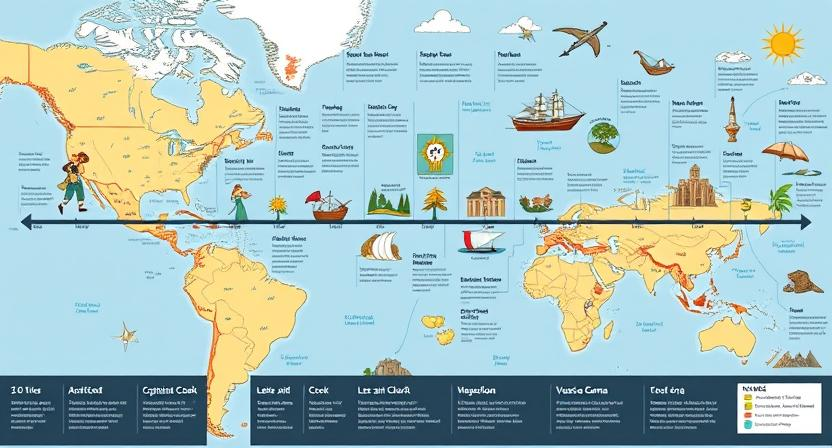
During famous expeditions, explorers often made remarkable geographic discoveries that shaped our understanding of the world. These discoveries ranged from new land masses and bodies of water to unique ecosystems and geological formations. For example, during Captain James Cook’s voyages in the Pacific Ocean, he encountered and mapped numerous islands, including Hawaii, Tahiti, and New Zealand. These discoveries not only expanded geographical knowledge but also opened up new possibilities for trade and colonization.
Another significant geographic discovery was made during Lewis and Clark’s expedition across North America. The expedition led to the mapping of the western territories of the United States, revealing the vast expanse of the continent and the diverse landscapes it contained. Additionally, the expedition encountered and documented various indigenous tribes and their ways of life, providing valuable insights into the cultural geography of the region. Overall, the geographic discoveries made during famous expeditions have had a lasting impact on our understanding of the world and continue to inspire further exploration and discovery.
• Captain James Cook’s voyages in the Pacific Ocean led to the discovery and mapping of islands such as Hawaii, Tahiti, and New Zealand.
• Lewis and Clark’s expedition across North America resulted in the mapping of western territories of the United States.
• The expeditions provided valuable insights into cultural geography by documenting indigenous tribes and their ways of life.
• These geographic discoveries have had a lasting impact on our understanding of the world and continue to inspire further exploration.
Geographic Barriers Faced by Explorers
Explorers throughout history have encountered a myriad of geographic barriers that have posed significant challenges to their expeditions. These barriers could range from rugged mountain ranges blocking passage to dense forests hindering visibility and progress. The natural formations and obstacles presented by varying terrains often required explorers to navigate carefully and strategize their routes to overcome these hindrances.
In addition to physical barriers, explorers also faced treacherous weather conditions that could impede their progress and jeopardize their safety. Extreme temperatures, fierce winds, and unpredictable storms could turn a promising expedition into a struggle for survival. Navigating through these harsh weather environments required careful planning and adaptability on the part of the explorers to ensure the success and safety of their journeys.
• Explorers often encountered rugged mountain ranges that blocked their passage
• Dense forests hindered visibility and progress during expeditions
• Navigating carefully and strategizing routes were necessary to overcome natural obstacles
• Treacherous weather conditions such as extreme temperatures and fierce winds posed challenges
• Unpredictable storms could jeopardize the safety of explorers on their expeditions
• Careful planning and adaptability were crucial for navigating through harsh weather environments
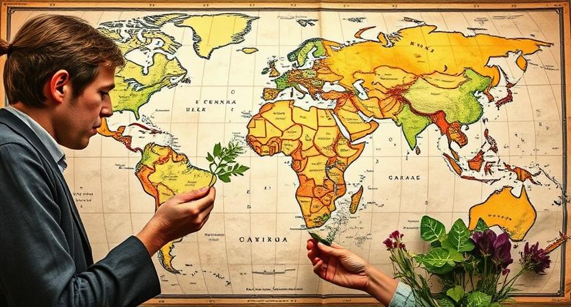
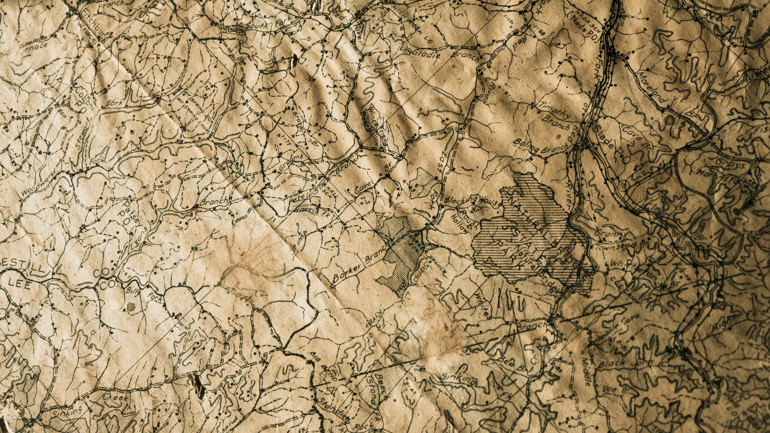
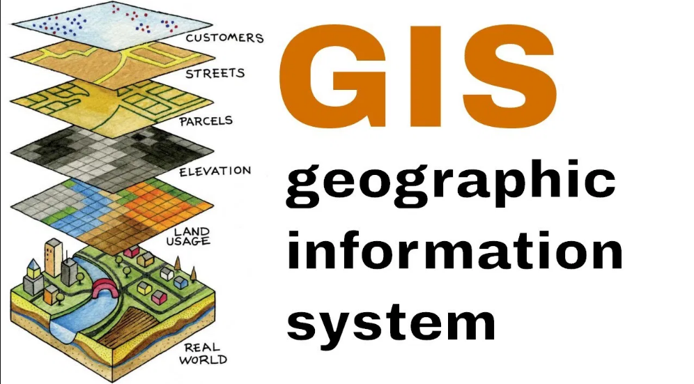
Importance of Geographic Mapping in Expedition Planning
Geographic mapping plays a pivotal role in the meticulous planning of expeditions across varied terrains and environments. It provides explorers with detailed insights into the topography, obstacles, and potential routes, enabling them to chart a course that maximizes efficiency and safety. By utilizing accurate maps, expedition leaders can make informed decisions regarding resource allocation, logistical considerations, and navigation strategies. This crucial step enhances the chances of a successful journey and minimizes the risks associated with venturing into unknown territories.
Moreover, geographic mapping serves as a fundamental tool for expedition planning by helping to anticipate and mitigate potential challenges that may arise during the exploration. Through the identification of geographic features such as rivers, mountains, and valleys, expedition teams can strategize their movements to avoid treacherous terrain and adapt their routes accordingly. By incorporating detailed maps into their planning process, explorers can enhance their preparedness, reduce the likelihood of getting lost, and optimize their chances of reaching their intended destination with efficiency and precision.
• Geographic mapping provides detailed insights into topography, obstacles, and potential routes
• Helps in making informed decisions regarding resource allocation, logistics, and navigation strategies
• Enhances the chances of a successful journey and minimizes risks associated with unknown territories
• Anticipates and mitigates potential challenges during exploration
• Identifies geographic features to strategize movements effectively
• Enhances preparedness, reduces likelihood of getting lost, and optimizes chances of reaching intended destination
Geographic Contributions to Scientific Discoveries
The study of geography has played a pivotal role in the advancement of scientific discoveries throughout history. Through carefully mapping out the earth’s surface, early explorers and navigators were able to uncover new lands, species, and resources that contributed to the growth of scientific knowledge. By understanding the intricate interplay between different geographic features such as mountains, rivers, and climate patterns, scientists were able to make groundbreaking discoveries in fields like biology, geology, and meteorology.
Moreover, geographic knowledge has allowed scientists to accurately predict natural phenomena such as earthquakes, volcanic eruptions, and hurricanes. By studying the specific geological formations and climatic conditions of different regions, researchers have been able to develop theories and models that have deepened our understanding of the Earth’s processes. It is through the lens of geography that scientists have been able to make significant strides in areas like environmental conservation, disaster management, and sustainable development.
• Early explorers and navigators were able to uncover new lands, species, and resources
• Understanding the interplay between geographic features led to groundbreaking discoveries in biology, geology, and meteorology
• Geographic knowledge allows scientists to predict natural phenomena like earthquakes, volcanic eruptions, and hurricanes
• Studying geological formations and climatic conditions has deepened our understanding of Earth’s processes
• Geography has contributed to advancements in environmental conservation, disaster management, and sustainable development
Role of Topography in Expedition Logistics
Topography plays a crucial role in shaping the logistical aspects of an expedition. The physical features of the terrain, such as mountains, valleys, and rivers, can greatly impact the planning and execution of an expedition. Navigating through rugged terrain may require additional resources and specialized equipment, while flat plains may offer easier travel routes. Understanding the topography of an area is essential for expedition leaders to make informed decisions about the best paths to take and the necessary provisions to carry.
Furthermore, topography can influence the selection of campsites and supply depots during an expedition. The terrain will determine the accessibility and suitability of locations for setting up temporary bases or storing essential supplies. Steep slopes may limit the availability of suitable camping spots, while areas near water sources could be ideal for replenishing provisions. Expedition logistics heavily rely on topographical considerations to ensure the safety and efficiency of the journey.
• Topography impacts the planning and execution of an expedition
• Rugged terrain may require additional resources and specialized equipment
• Flat plains offer easier travel routes
• Understanding topography helps make informed decisions about paths and provisions
• Topography influences selection of campsites and supply depots
• Terrain determines accessibility and suitability of locations for bases
• Steep slopes may limit camping spots availability
• Areas near water sources are ideal for replenishing provisions
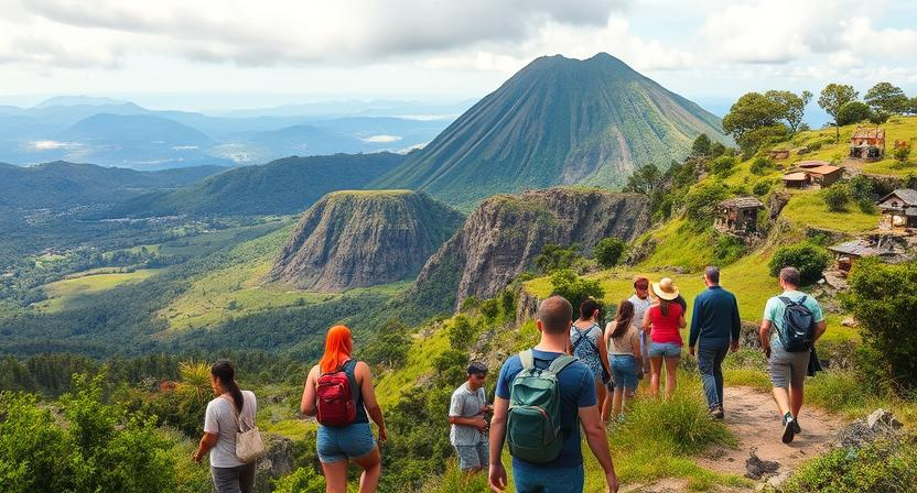
Geographic Significance of Landmarks Found During Expeditions
Expeditions often stumble upon remarkable landmarks that hold significant geographic value. These landmarks serve as reference points for explorers, guiding them through unfamiliar terrain and aiding in navigation. From towering mountains to winding rivers, these natural features not only captivate the eye but also play a crucial role in shaping expedition routes and mapping the surrounding landscape.
Discovering landmarks during expeditions not only adds to the knowledge of geographical features but also enriches the understanding of the area’s topography and ecosystem. They provide insights into the region’s geological history, climate patterns, and environmental diversity. By documenting and studying these landmarks, explorers can unravel the mysteries of the land they traverse and contribute to the broader field of geographic research.
• Landmarks serve as reference points for explorers
• They aid in navigation through unfamiliar terrain
• Natural features like mountains and rivers shape expedition routes
• Discovering landmarks enriches understanding of topography and ecosystem
• Insights into geological history, climate patterns, and environmental diversity are gained
• Documenting and studying landmarks contributes to geographic research
Impact of Geographic Resources on Expedition Supplies
Geographic resources play a crucial role in determining the success and sustainability of expeditions. The availability of essential supplies, such as food, water, and shelter, is heavily dependent on the geographic features of the expedition route. For explorers venturing into unknown territories, the presence of natural resources such as forests for timber, rivers for water, and fertile land for farming can mean the difference between survival and failure. The strategic location of these resources along the expedition route greatly influences the planning and logistics required for a successful journey.
Furthermore, the quality and quantity of geographic resources can impact the overall morale and well-being of expedition members. Access to fresh food, clean water, and suitable shelter not only sustains the physical health of the team but also fosters a positive mental outlook during challenging times. In instances where geographic resources are scarce, explorers may have to resort to alternative methods of sourcing supplies or adapt their route to access critical resources needed for their journey. The careful consideration and management of geographic resources are essential in ensuring the resilience and longevity of expeditions in unfamiliar terrain.
• Geographic resources such as forests, rivers, and fertile land are essential for expedition supplies
• The strategic location of these resources influences planning and logistics
• Access to fresh food, clean water, and suitable shelter impacts morale and well-being of expedition members
• Scarcity of geographic resources may require explorers to adapt their route or find alternative supply sources
• Careful consideration and management of geographic resources are crucial for the success and sustainability of expeditions
Geographic Influences on Indigenous Populations Encountered
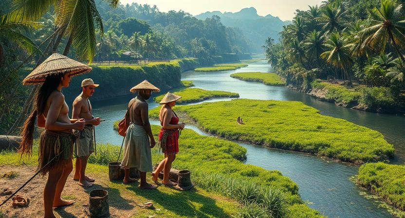
When early explorers embarked on expeditions to uncharted territories, they often encountered indigenous populations whose way of life was deeply intertwined with the geographic features of their surroundings. The presence of rivers, mountains, and dense forests significantly influenced the settlement patterns and daily activities of these indigenous groups. For instance, tribes living along fertile riverbanks were able to engage in agriculture and develop complex societies, while those in mountainous regions relied on hunting and gathering for survival.
Moreover, the geographic isolation of certain indigenous populations shaped their cultural practices and traditions. Accessible only through treacherous mountain passes or vast deserts, these groups developed unique languages, belief systems, and social structures that were intricately connected to their surroundings. The geographical barriers imposed by rugged terrains or vast bodies of water not only protected these communities from external threats but also limited their interactions with neighboring groups, leading to the preservation of distinct ways of life for generations.
• Indigenous groups living along fertile riverbanks engaged in agriculture and developed complex societies
• Tribes in mountainous regions relied on hunting and gathering for survival
• Geographic isolation shaped cultural practices and traditions of indigenous populations
• Unique languages, belief systems, and social structures developed in isolated communities
• Rugged terrains or vast bodies of water protected communities from external threats
Geographic Factors in Determining Expedition Start and End Points
When planning an expedition, selecting the start and end points is a critical decision that heavily relies on various geographic factors. The choice of where to begin and conclude an expedition can significantly impact its success and overall outcome. One key consideration is the accessibility of the chosen locations, taking into account factors such as terrain, proximity to resources, and existing infrastructure. By carefully assessing the geographic features of potential start and end points, expedition planners can ensure efficient logistics and smooth transitions between stages of the journey.
Moreover, the geographic characteristics of the start and end points can influence the overall experience of the expedition. Spectacular landscapes, unique ecosystems, or culturally significant sites at either end can enrich the journey and provide a sense of accomplishment. Additionally, factors like prevailing winds, ocean currents, or mountain ranges can affect the ease of travel and time required to complete the expedition. By strategically selecting start and end points that align with the goals and challenges of the expedition, explorers can enhance the overall adventure and optimize their chances of a successful outcome.
• Accessibility of chosen locations is crucial for logistics
• Terrain, proximity to resources, and existing infrastructure should be considered
• Careful assessment of geographic features can ensure smooth transitions during the journey
• Start and end points with spectacular landscapes enhance the overall experience
• Unique ecosystems or culturally significant sites add value to the expedition
• Factors like prevailing winds or ocean currents can impact travel ease and time required
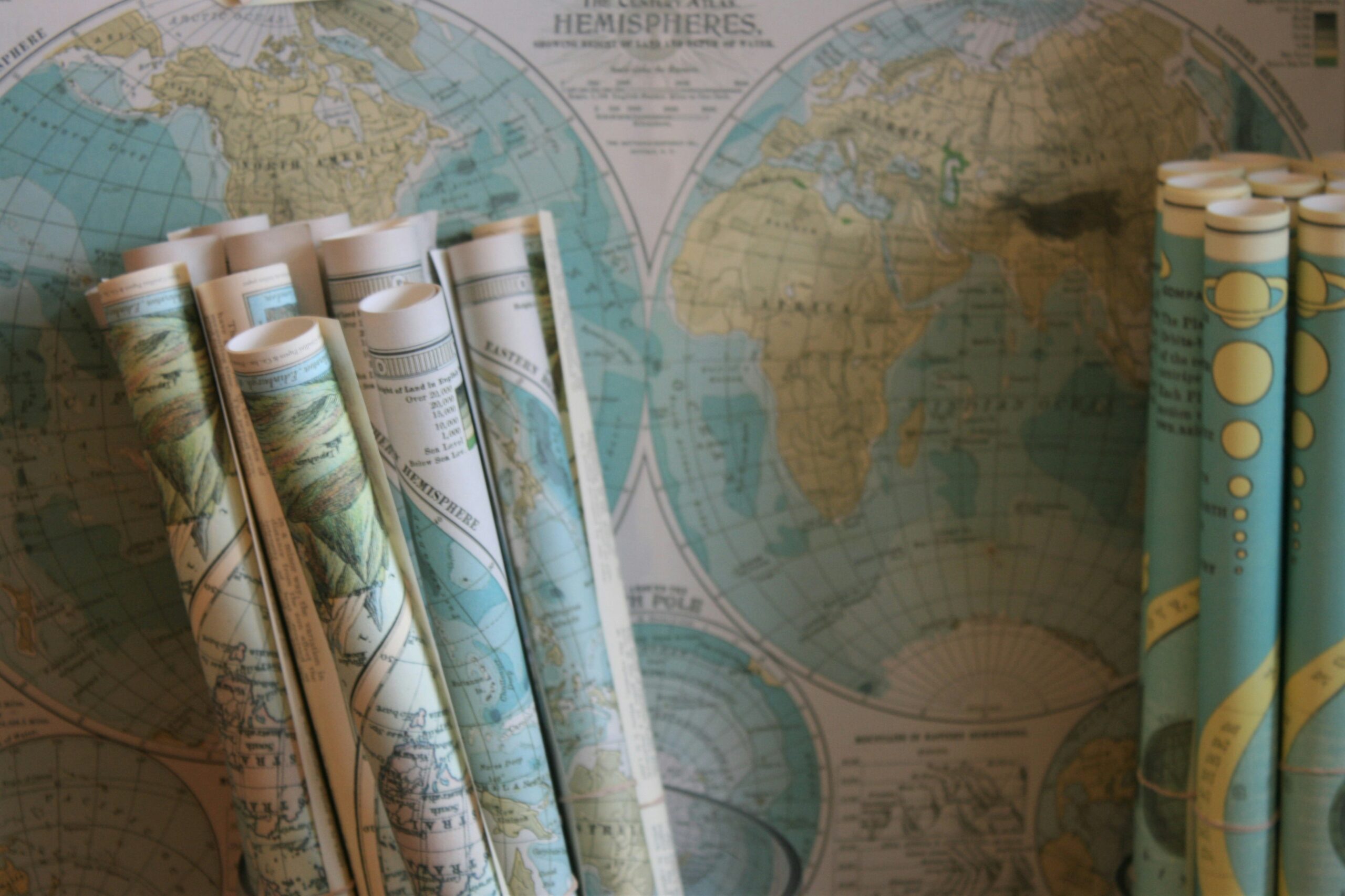
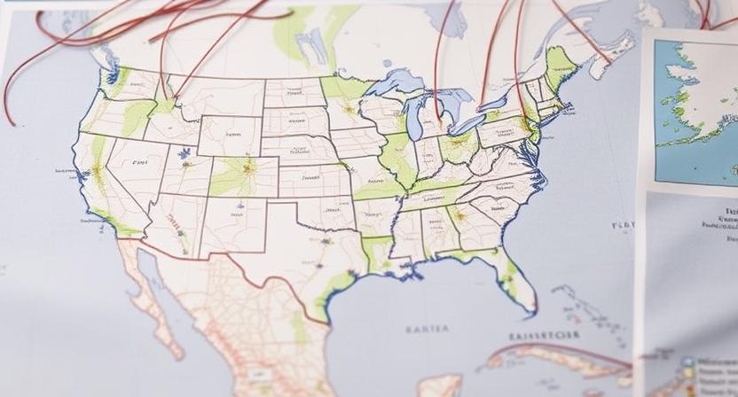
Role of Geographic Coordinates in Navigation
Navigating vast expanses of unknown territory has long been a daunting challenge for explorers throughout history. The ability to pinpoint precise locations on Earth became a crucial skill in ensuring successful expeditions. Geographic coordinates, expressed in latitude and longitude, emerged as a valuable tool for mapping out and navigating uncharted lands. By using these coordinates, explorers could determine their exact position on the globe, allowing for more accurate course plotting and a greater chance of reaching their intended destinations.
The adoption of geographic coordinates revolutionized navigation, providing a universal language for identifying locations across the globe. This standardized system enabled explorers to effectively communicate their whereabouts and findings with accuracy. By plotting coordinates on maps, adventurers could create detailed records of their journeys, facilitating the sharing of knowledge and fostering advancements in geographical understanding. The role of geographic coordinates in navigation not only streamlined expedition planning and execution but also contributed to the collective mapping of the world’s landscapes, enhancing our comprehension of the Earth’s diverse terrains.
• Geographic coordinates, expressed in latitude and longitude, emerged as a valuable tool for mapping out and navigating uncharted lands.
• Explorers could determine their exact position on the globe using these coordinates, allowing for more accurate course plotting.
• The adoption of geographic coordinates revolutionized navigation by providing a universal language for identifying locations across the globe.
• This standardized system enabled explorers to effectively communicate their whereabouts and findings with accuracy.
• By plotting coordinates on maps, adventurers could create detailed records of their journeys, facilitating the sharing of knowledge and fostering advancements in geographical understanding.
Geographic Considerations in Establishing Trade Routes
Trade routes have long been established based on geographic factors that influence the movement of goods and services between regions. One key consideration is the presence of natural barriers such as mountains, deserts, or bodies of water, which can impact the ease of travel and transportation along a route. For example, the Silk Road, an ancient trade route connecting East Asia to the Mediterranean, navigated treacherous mountain passes and arid deserts, shaping the flow of goods and cultural exchange between the East and the West.
Additionally, the availability of natural resources along a trade route influences its development and sustainability. Routes that pass through regions abundant in valuable resources like spices, precious metals, or agricultural products tend to attract traders and facilitate economic exchanges. The strategic positioning of trading hubs along these routes also plays a crucial role in facilitating the transfer of goods between different regions, maximizing economic opportunities and fostering international trade networks.
• Natural barriers such as mountains, deserts, and bodies of water impact ease of travel
• The Silk Road navigated treacherous mountain passes and arid deserts
• Availability of natural resources along a trade route influences its development
• Routes passing through regions abundant in valuable resources attract traders
• Strategic positioning of trading hubs facilitates transfer of goods between regions
Geographic Challenges of Polar Expeditions
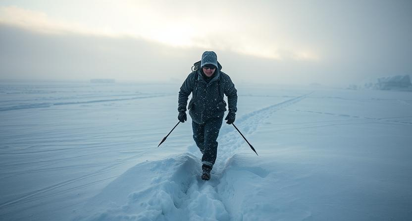
Polar expeditions present a myriad of geographic challenges that test the limits of human endurance and exploration. In the unforgiving landscape of the polar regions, extreme temperatures, treacherous terrain, and ever-shifting ice create formidable obstacles for even the most experienced adventurers. Navigating through vast stretches of ice and snow, with limited visibility and unpredictable weather conditions, requires meticulous planning and unwavering determination.
One of the greatest challenges of polar expeditions is the isolation and remoteness of these regions. With no human settlements for hundreds of miles and minimal access to resources, polar explorers must be self-sufficient and prepared for any eventuality. The harsh polar environment also poses risks such as frostbite, hypothermia, and polar bears, adding an element of danger to an already demanding journey. Despite these challenges, the allure of the polar regions continues to inspire explorers to push the boundaries of human exploration and discovery.
• Navigating through vast stretches of ice and snow
• Limited visibility and unpredictable weather conditions
• Meticulous planning required for polar expeditions
• Isolation and remoteness of polar regions
• Self-sufficiency needed due to minimal access to resources
• Risks such as frostbite, hypothermia, and encounters with polar bears
• Allure of the polar regions inspires explorers to push boundaries
Impact of Geography on Expedition Timeframes
Expeditions are often significantly influenced by the geography of the regions they traverse. One key aspect where geography plays a crucial role is in determining the timeframe of an expedition. The diverse landscapes encountered during an exploration, including mountains, deserts, forests, and bodies of water, can present various challenges that impact the speed and progress of the journey.
Mountainous terrains, for example, can slow down expeditions due to steep inclines and rugged paths, requiring additional time and effort to navigate through. Similarly, traversing dense forests or crossing vast deserts can also extend the duration of an expedition as explorers need to carefully navigate through these challenging environments. In contrast, expeditions across flat plains or along rivers may progress more swiftly, allowing for quicker travel and reduced timeframes. Ultimately, the geographical characteristics of an area greatly influence the pace at which explorers can move through the landscape, consequently affecting the overall timeframe of the expedition.
• Mountainous terrains with steep inclines and rugged paths can slow down expeditions
• Dense forests and vast deserts also extend the duration of an expedition due to challenging environments
• Flat plains or rivers allow for quicker travel and reduced timeframes
Geography plays a vital role in shaping the timeframe of expeditions, as different landscapes present unique challenges that impact the speed and progress of the journey. Navigating through mountains, forests, deserts, or flat plains all contribute to determining how long an expedition may take. Understanding these geographical influences is essential for planning successful expeditions that account for varying terrain types and their effects on travel time.
Geographic Contributions to Cultural Exchange During Expeditions
Geographic features have played a crucial role in shaping cultural exchange during expeditions throughout history. The interaction between explorers and indigenous populations was often influenced by the landscape and natural resources of the regions they traversed. For example, the availability of water sources and fertile land could foster positive relationships between explorers and local communities, facilitating trade and sharing of knowledge.
Additionally, geographical landmarks such as mountains, rivers, and coastlines served as meeting points for different cultures, enabling the exchange of goods, ideas, and customs. These natural boundaries and meeting places not only facilitated cultural exchange but also influenced the development of trade routes and the spread of languages and technologies. Overall, the geographic landscape played a significant role in promoting cultural diversity and fostering collaboration between different societies during expeditions.
• Geographic features such as water sources and fertile land facilitated positive interactions between explorers and indigenous populations
• Landmarks like mountains, rivers, and coastlines served as meeting points for different cultures
• Natural boundaries influenced the development of trade routes and the spread of languages and technologies
• The geographic landscape promoted cultural diversity and collaboration between societies during expeditions
Geographic Limitations on Expedition Communication
Navigating through vast, uncharted territories during expeditions posed numerous challenges for early explorers, including communication barriers. The rugged terrains, dense forests, and vast oceans often hindered the transmission of messages between different expedition parties. Without modern communication devices, such as radios or satellites, explorers had to rely on more primitive methods like light signals, smoke signals, or carrier pigeons to convey important information. However, these methods were often unreliable and limited by geographic factors such as line of sight or prevailing winds, making effective communication a constant struggle.
Furthermore, the harsh and unpredictable weather conditions encountered during expeditions could severely impact communication efforts. Storms, fog, and extreme temperatures could disrupt signal transmissions and impede the mobility of messengers, delaying the relay of crucial information. In remote and isolated regions, where geographic features like mountains or valleys obstructed radio waves or blocked visual signals, expedition teams faced even greater difficulties in maintaining contact with their base camps or fellow explorers. Despite these challenges, early navigators persevered and sought innovative ways to overcome the geographic limitations on expedition communication to ensure the success and safety of their voyages.
• Early explorers faced communication barriers due to rugged terrains and dense forests
• Primitive methods like light signals, smoke signals, or carrier pigeons were unreliable
• Harsh weather conditions such as storms and extreme temperatures disrupted signal transmissions
• Remote regions with mountains or valleys obstructed radio waves and visual signals
• Despite challenges, early navigators sought innovative ways to overcome geographic limitations on expedition communication