
Lila Monroe
- 23 minutes Read
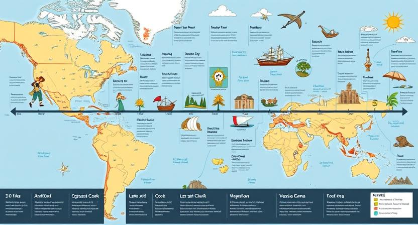
The Role of Geography in Famous Expeditions
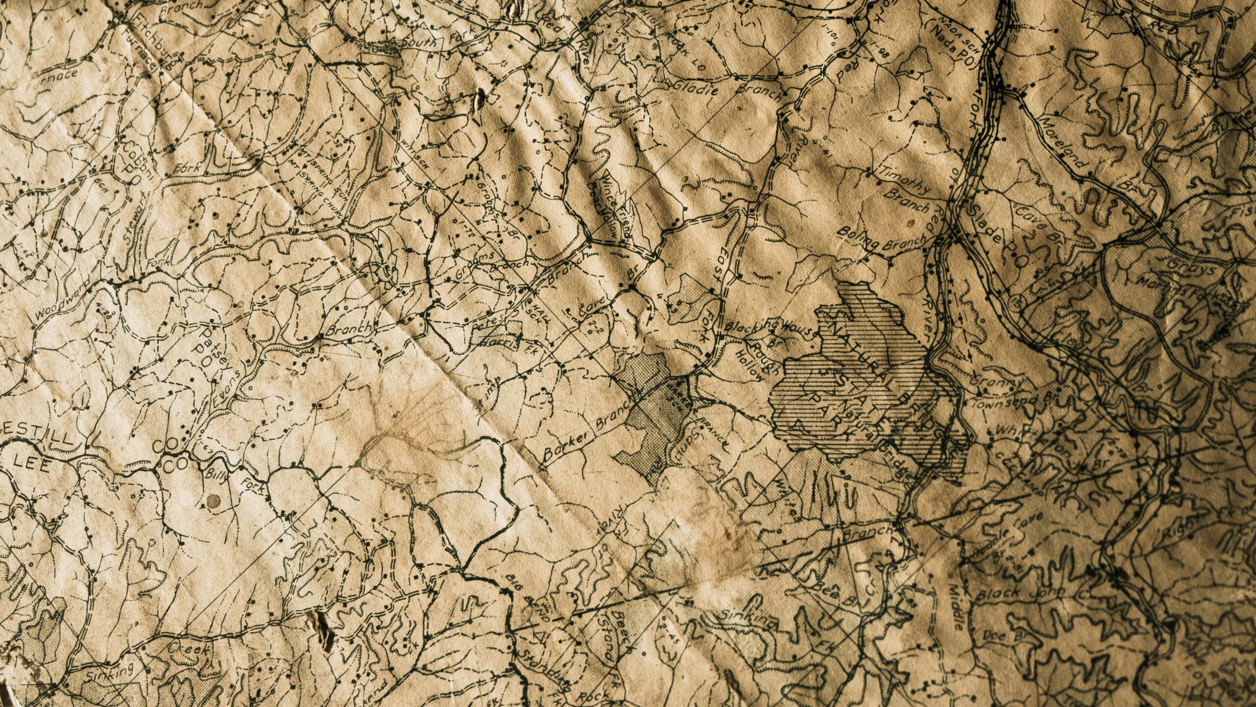
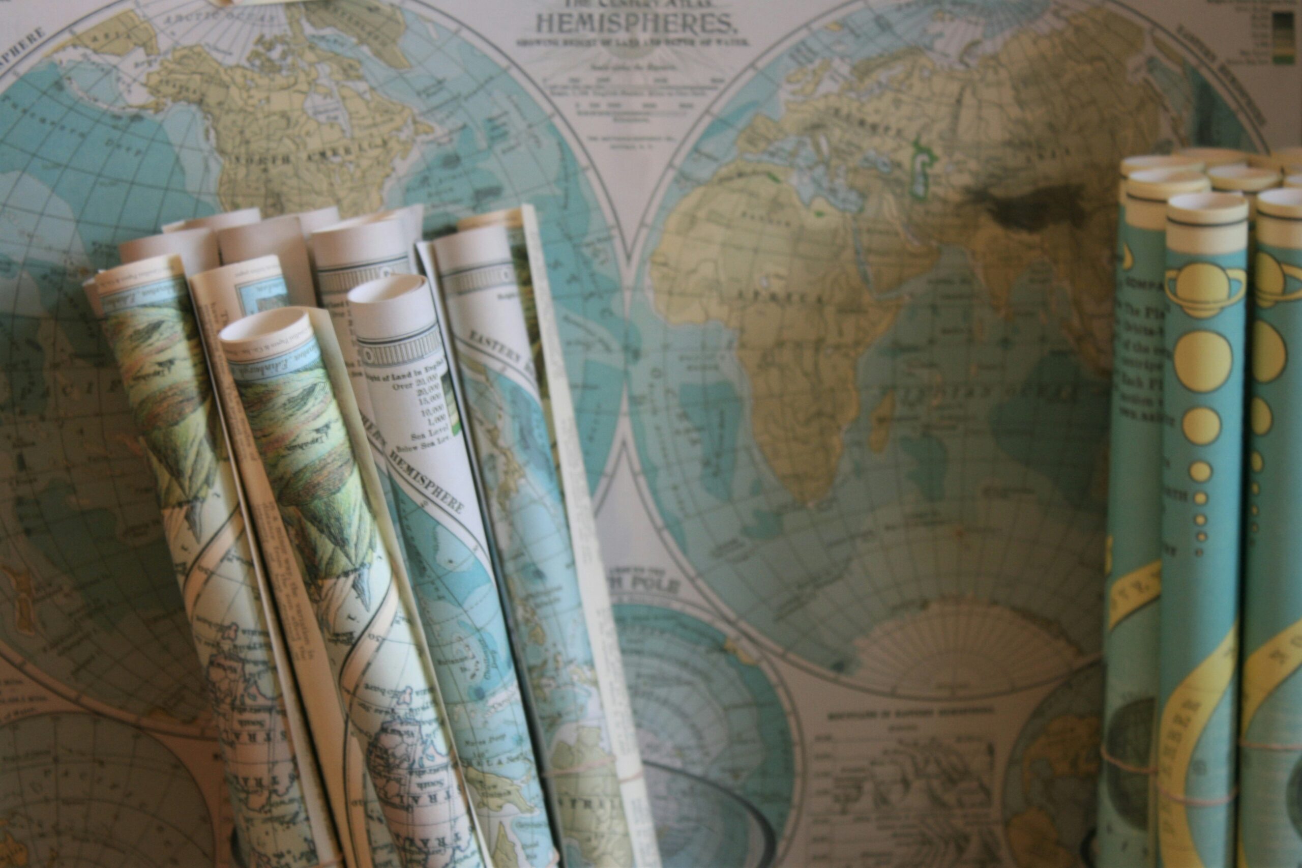
Early Exploration and Navigation During early exploration, navigators faced significant challenges as they ventured into uncharted territories. Without the modern tools and technologies available today, sailors relied on celestial navigation…
