
Lila Monroe
- 21 minutes Read
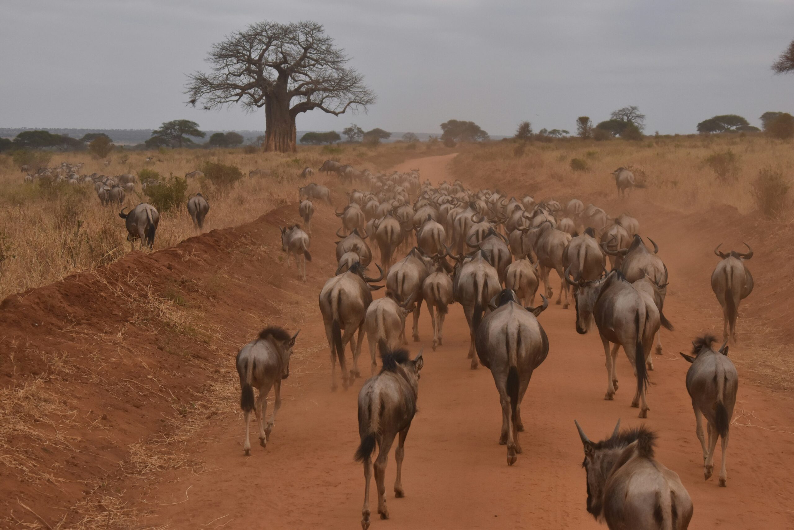
The Role of Geography in Wildlife Migration Patterns
Factors influencing wildlife migration patterns Wildlife migration patterns are complex phenomena shaped by a multitude of factors. From the availability of food sources to the presence of predators, various elements…